USAGE project
@USAGE_project
USAGE is an EU Horizon Europe project that tackles Green Deal actions and trustworthy data collection, processing and visualization for cities and towns
ID:1600542431509987334
https://www.usage-project.eu/ 07-12-2022 17:27:35
134 Tweets
153 Followers
224 Following

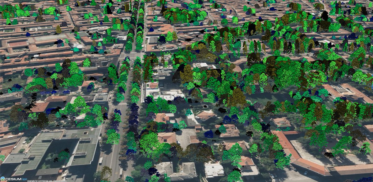
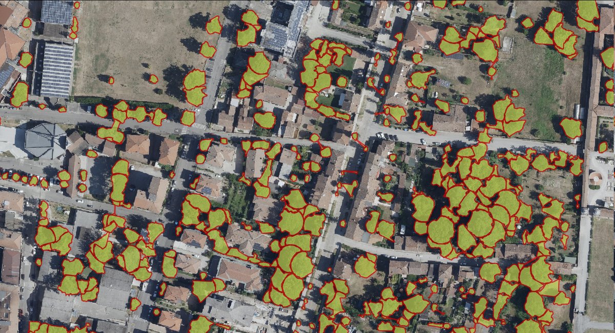
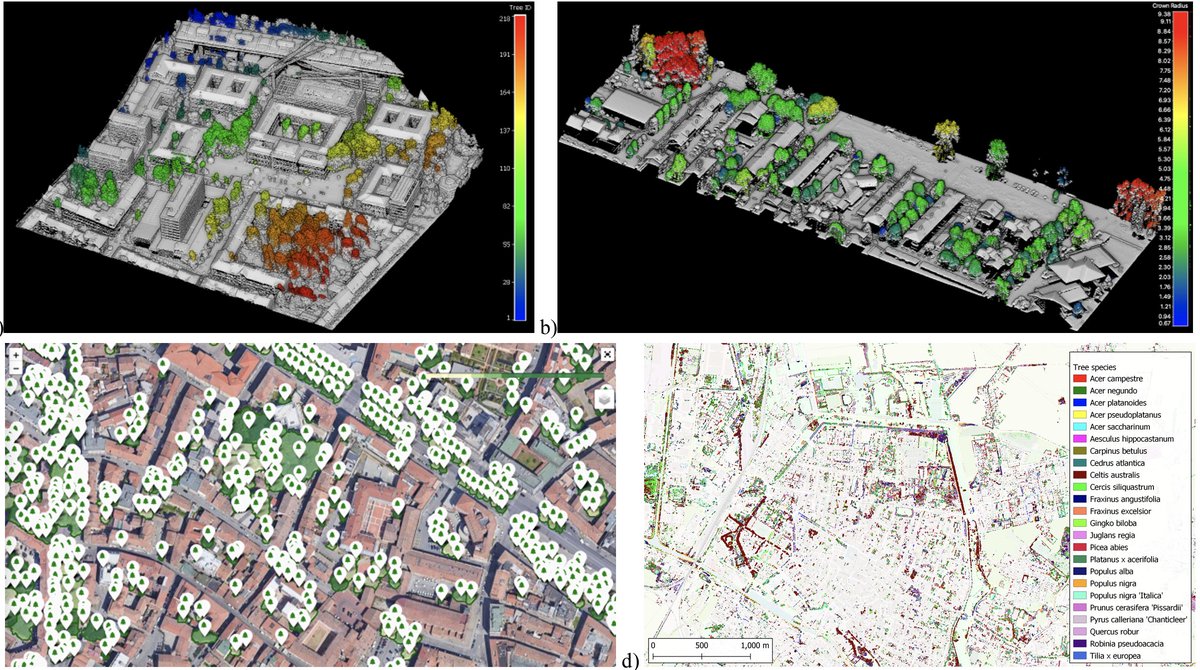
in our solutions we use #LiDAR point clouds & #orthophoto to create a #canopy urban layer. Thanks to Cesium we can then visualize results in #3D !
stay tuned for more results soon!
European Green Deal Horizon Europe🇪🇺
#mapping #climatechange #geospatial #AI #EO #Governance

#DataSpaces and #DigitalTwins share many building blocks, and therefore their developement is complementary🤝💙
Check this examples from USAGE project and AD4GD showed by Francesca Noardo in this last Building Digital Twin International Conference 2024 in #Barcelona .
#BDTIC
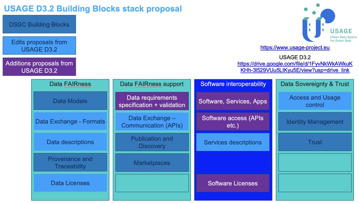

our partner Open Geospatial: OGC presented project activities on the evolution of #DataSpaces building blocks at the #BDTIC2024 event showing how to join the #DataSpaces concept with the #DigitalTwin one, looking at a joint adventure...
European Green Deal Horizon Europe🇪🇺 #governance #geospatial
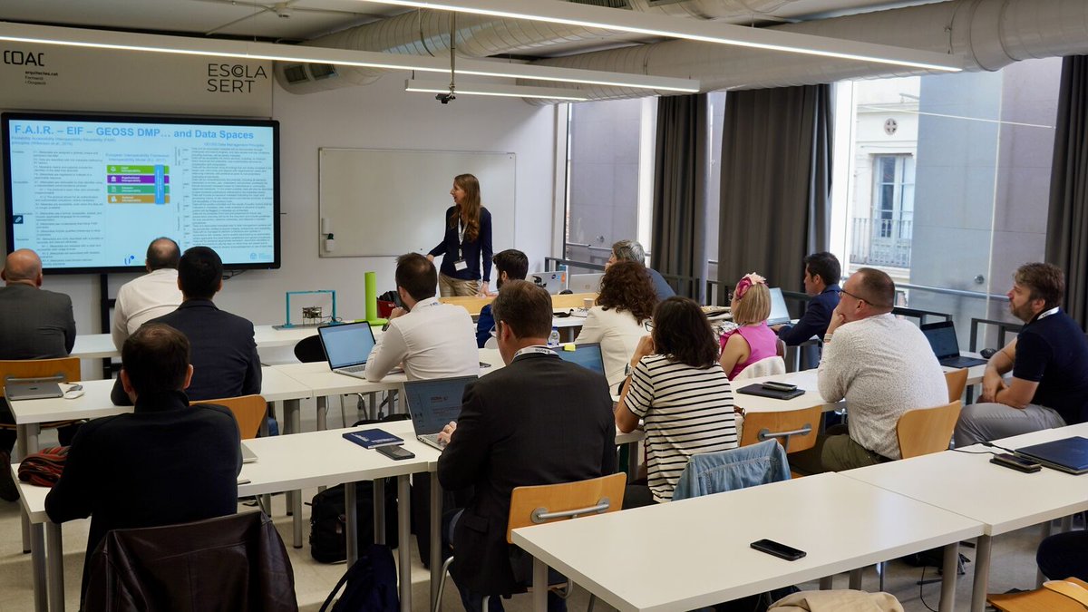

we joined & networked at EGU presenting our USAGE project on Urban Data Space & #GreenDeal
Politécnica Madrid Comune di Ferrara Fondazione Bruno Kessler - FBK AyuntamientoZaragoza Deda Group Epsilon Italia srl GeoCat bv Open Geospatial: OGC AVT lisboncouncil KU Leuven European Green Deal #mapping #AI


dont miss our talk at EGU General Assembly 2024:
meetingorganizer.copernicus.org/EGU24/EGU24-10…
Monday, 15 Apr, 14:50–15:00, Room 2.16
#mapping #AI #3D Onur Bayrak #pointcloud #deeplearning #photogrammetry #lidar #egu24
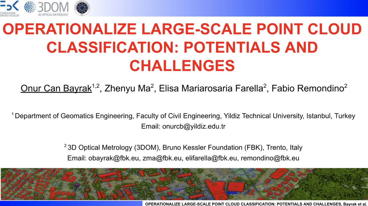

join the EGU General Assembly & our talk
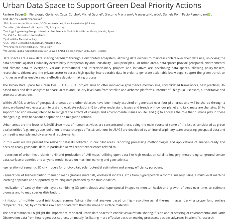
*Urban Data Space to Support #GreenDeal Priority Actions*
meetingorganizer.copernicus.org/EGU24/EGU24-96…
Fri 19/4 11:30 Room G2
European Green Deal Politécnica Madrid Fondazione Bruno Kessler - FBK Deda Group Epsilon Italia srl GeoCat bv Open Geospatial: OGC AVT KU Leuven

how many trees are in town?
which tree species have my city?
we use high-resolution #aerial images & #LiDAR #pointcloud to derive such information. Soon everything available on the #urban #dataspace of the project!
European Green Deal #geospatial #AI #governance #mapping #hyperspectral


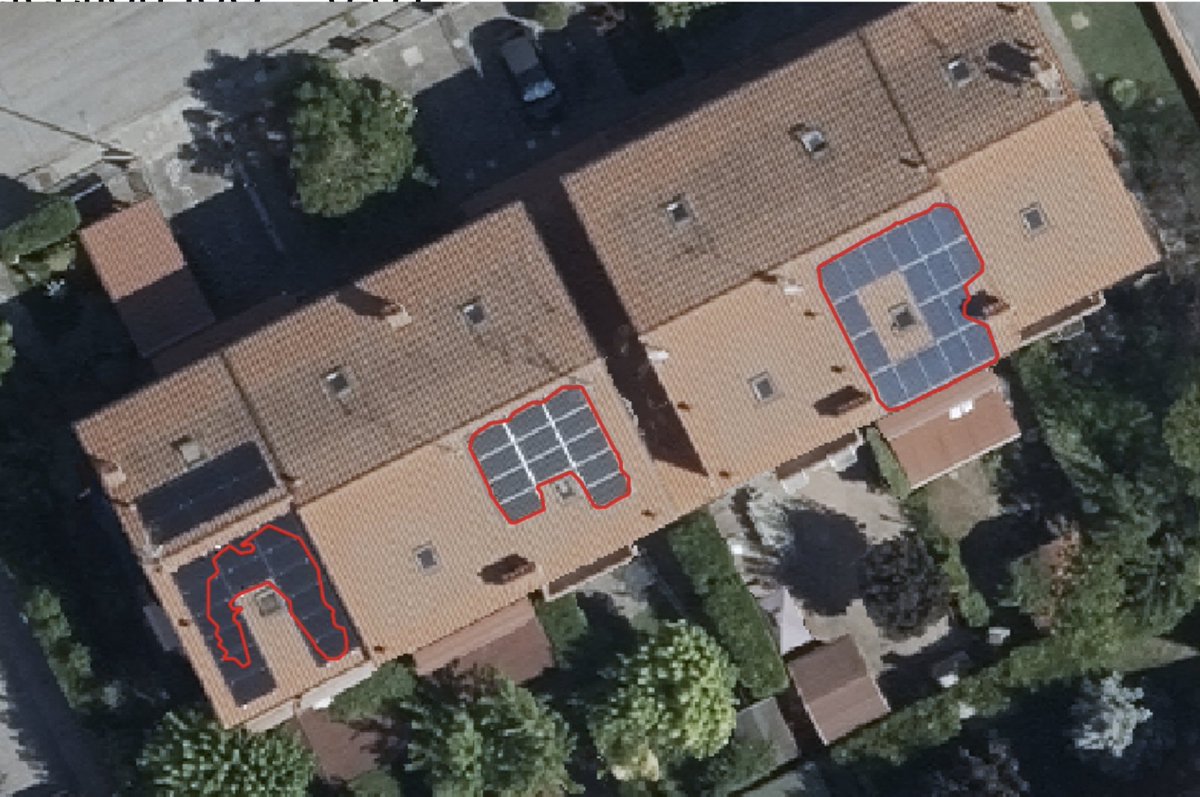
we are using high-resolution orthophotos & adapted #deeplearning methods to detect already installed #solarpanels in the pilot areas & support better PV analyses and estimations of suitable areas for #GreenEnergy production
#AI #geospatial #Governance #climatechange European Green Deal

we celebrate #WorldWaterDay @ Istituto Agrario Navarra in Ferrara, Italy
March 22, 3:30 PM: meet with the Italian climatologist Luca Mercalli
usage-project.eu/news-media/220…
#climatechange Deda Group Comune di Ferrara 3DOMFBK Fondazione Bruno Kessler - FBK Epsilon Italia srl AVT European Green Deal

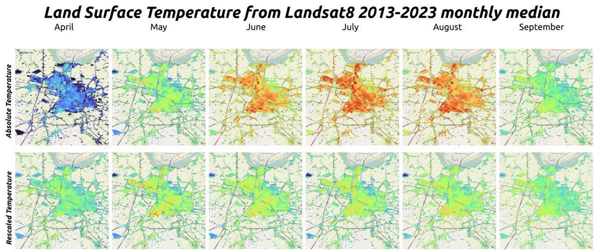
Urban Heat Islands ( #UHI ) are areas experiencing higher temperatures than nearby (rural) areas. We are finalizing UHI analyses over the pilot areas, using #satellite images & ground stations for #regression & #validation . Results soon available in our #dataspace .
#AI European Green Deal


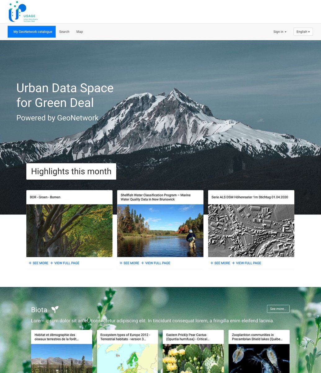
How to find project data?
GeoCat bv has setup a SDI solution - called GeoCat Live - based on a catalog (GeoNetwork), a map server (GeoServer) and a spatial database (PostGIS): usage.geocat.live/mapping
European Green Deal Horizon Europe🇪🇺 #geospatial #AI #Governance #mapping #climatechange


regarding #opendata ...our partner Comune di Ferrara
has already published dozens of GB of data: 10cm orthophotos, hyperspectral images, thermal images, DTM, DSM...also in #COG format... dati.comune.fe.it data.europa.eu
European Green Deal Horizon Europe🇪🇺 #mapping #geospatial
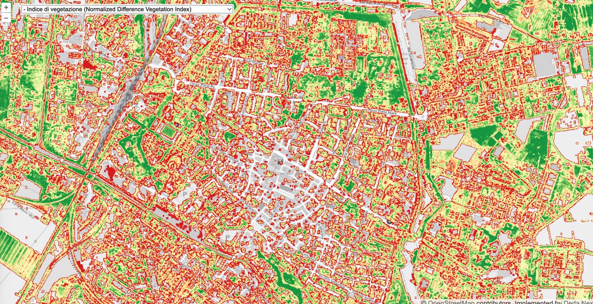

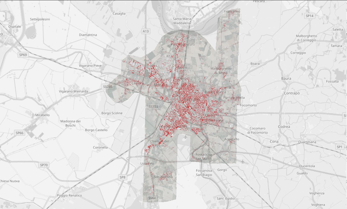
Quanti veicoli a motore (auto, camion, furgoni, bus) ci sono in giorno qualsiasi in una città di provincia come #Ferrara ?
Alle 12 del 5/8/2022 erano oltre 40mila, alcuni in movimento (pochi) e altri fermi, parcheggiati, abbandonati
USAGE project Comune di Ferrara Deda Group

project meeting at KU Leuven to check progresses & finalize the 4 use cases
Politécnica Madrid Comune di Ferrara 3DOMFBK Fondazione Bruno Kessler - FBK AyuntamientoZaragoza Deda Group Epsilon Italia srl GeoCat bv Open Geospatial: OGC AVT lisboncouncil European Green Deal #mapping #climatechange #AI #Governance
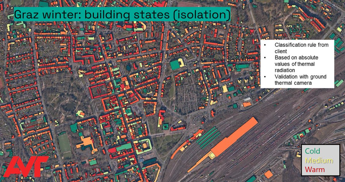

how can we provide solutions for making #environmental & climate data of cities available & usable by everyone?
how can we support the implementation of European Green Deal actions where #climate change is mostly felt?
see activities of our USAGE project!
Horizon Europe🇪🇺 Fondazione Bruno Kessler - FBK

A proposito di #opendata ... il Comune di Ferrara negli ultimi mesi ha pubblicato su dati.comune.fe.it decine di Gb di dati open grazie al progetto USAGE project ... ortofoto a 10cm, immagini iperspettrali, immagini termiche, DTM, DSM, ... anche in formato COG
