Spatialnode(@spatialnodehq) 's Twitter Profile Photo

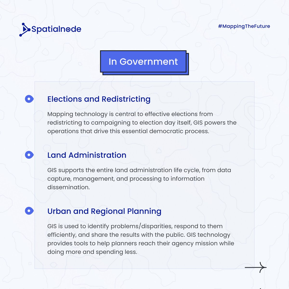
GIS can be applied in every organization and across all disciplines.

In what discipline have you explored GIS? Share your thoughts

Let's see GIS In Action!

A thread!

inaction

GIS can be applied in every organization and across all disciplines.

In what discipline have you explored GIS? Share your thoughts

Let's see GIS In Action!

A thread! 

#gis #geospatial #gisinaction
account_circle
Jeff Harrison(@JeffHarrison) 's Twitter Profile Photo

Demonstrating Dark Style for Releasable Basemap Tiles (RBT)… lots of positive feedback about use in ‘low light’ conditions.

Demonstrating Dark Style for Releasable Basemap Tiles (RBT)… lots of positive feedback about use in ‘low light’ conditions. #mapping #geospatial
account_circle
Glenn Moncrieff(@Glennwithtwons) 's Twitter Profile Photo

I was asked to write a note on how I do ML with remote sensing data. Sharing here in case it is useful, or if you want to tell me that I am doing something dumb.
gist.github.com/GMoncrieff/246…
made possible by the amazing resources and tools from developmentseed and Pangeo etal

account_circle
Abdillahi Osman(@3bdillahi) 's Twitter Profile Photo

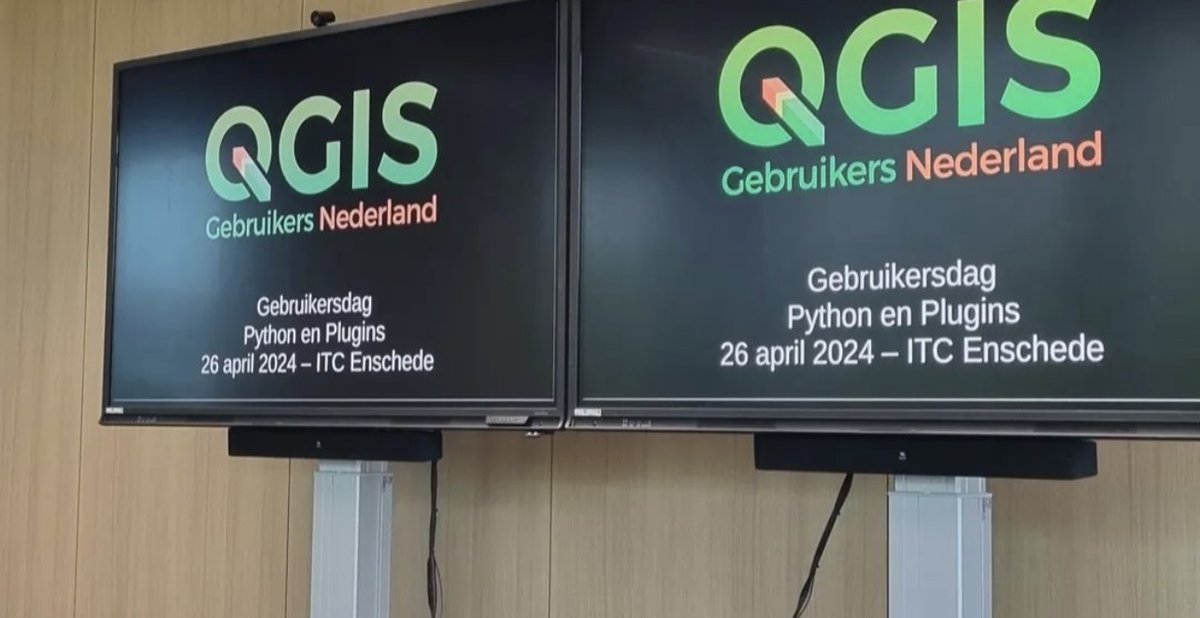
I had an amazing QGIS User Day at ITC yesterday! 🌟 It was fantastic to connect with fellow GIS enthusiasts and exchange insights on utilizing , the Python programming framework within the environment.

NL

I had an amazing QGIS User Day at ITC yesterday! 🌟 It was fantastic to connect with fellow GIS enthusiasts and exchange insights on utilizing #PyQGIS, the Python programming framework within the #QGIS environment.

#QGISNL #PyQGIS #Geospatial
account_circle
Yohan Iddawela(@yohaniddawela) 's Twitter Profile Photo

Looking for talented geospatial data scientists to work with me at ADB.

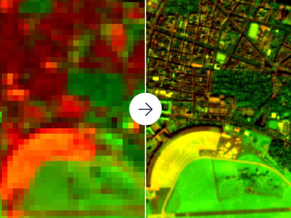
You'll be working as a consultant on developing some open-source super-resolution models. It's initially for 66 days, but with opportunities for extension.

Apply here:

selfservice.adb.org/OA_HTML/OA.jsp…

Looking for talented geospatial data scientists to work with me at ADB.

You'll be working as a consultant on developing some open-source super-resolution models. It's initially for 66 days, but with opportunities for extension.

Apply here:

selfservice.adb.org/OA_HTML/OA.jsp…

#gis…
account_circle
Abdulrezak Oumer(@Razziiy) 's Twitter Profile Photo

In a data overload world, extracting insights is a challenge. Filter out noise, transform big data into actionable info! Geospatial info is valuable for strategic decisions in various industries.

In a data overload world, extracting insights is a challenge. Filter out noise, transform big data into actionable info! Geospatial info is valuable for strategic decisions in various industries. #DataInsights #Geospatial #StrategicDecisions
account_circle
Yohan Iddawela(@yohaniddawela) 's Twitter Profile Photo

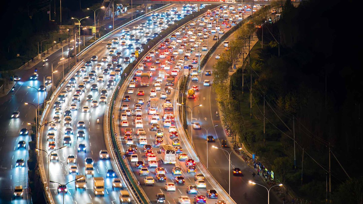
Free geospatial traffic data.

PLUS: using satellites and AI to measure CO2 in real-time, jobs for geospatial data scientists and more.

Here's everything I wrote about this week:

Free geospatial traffic data.

PLUS: using satellites and AI to measure CO2 in real-time, jobs for geospatial data scientists and more.

Here's everything I wrote about this week:
account_circle
UCC_Y🌍UTHMAPPERS(@YouthmappersUCC) 's Twitter Profile Photo

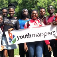
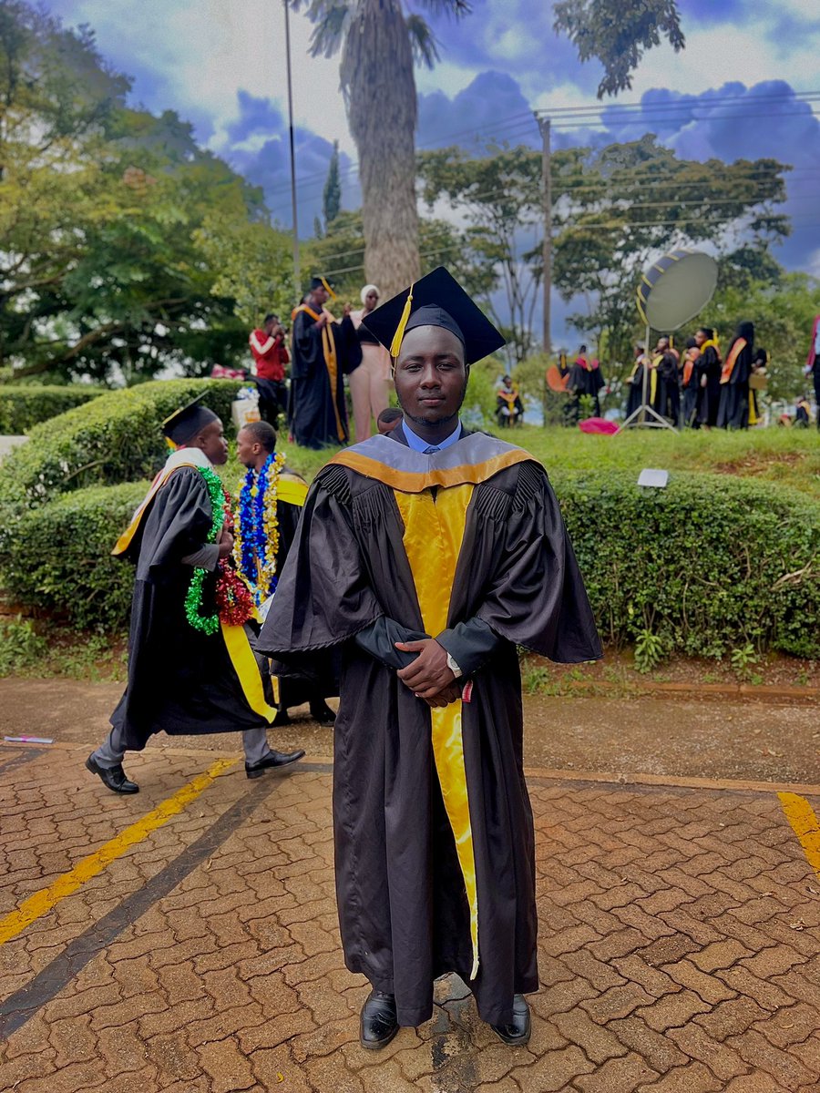
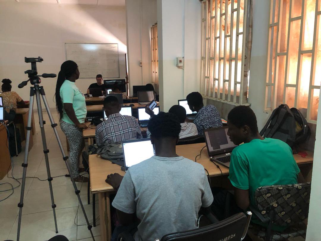
The three days participatory GIS workshop finally came to an end with amazing experiences.

Indeed “Utilizing Geospatial Data For Sustainable Development”is the future 🔥🔥✅

We don’t just build maps. We build mappers .

The three days participatory GIS workshop finally came to an end with  amazing experiences. 

Indeed “Utilizing Geospatial Data For Sustainable Development”is the future 🔥🔥✅

We don’t just build maps. We build mappers .
account_circle
Contegix(@contegix) 's Twitter Profile Photo

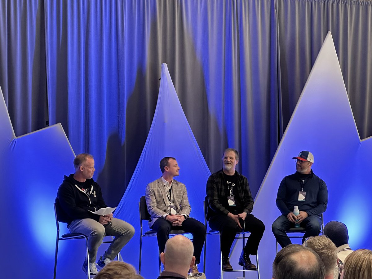
We'll be at the from May 5th (Booth #2007), exploring this year's theme: 'Essential in All Dimensions and Domains.' Join us to delve into how geospatial intelligence is shaping decision-making across the globe.

Register here: hubs.la/Q02tWbQC0

account_circle
Josiah fin(@Josiah_fin) 's Twitter Profile Photo

First is NATIX Network: This platform uses driver assistant apps, navigation, token rewards, and computer vision to collect real-time data from smartphone cameras, creating a network for open geospatial intelligence. Users are rewarded for their contributions.

First is @NATIXNetwork: This platform uses driver assistant apps, navigation, token rewards, and computer vision #AI to collect real-time data from smartphone cameras, creating a network for open geospatial intelligence. Users are rewarded for their contributions.
account_circle