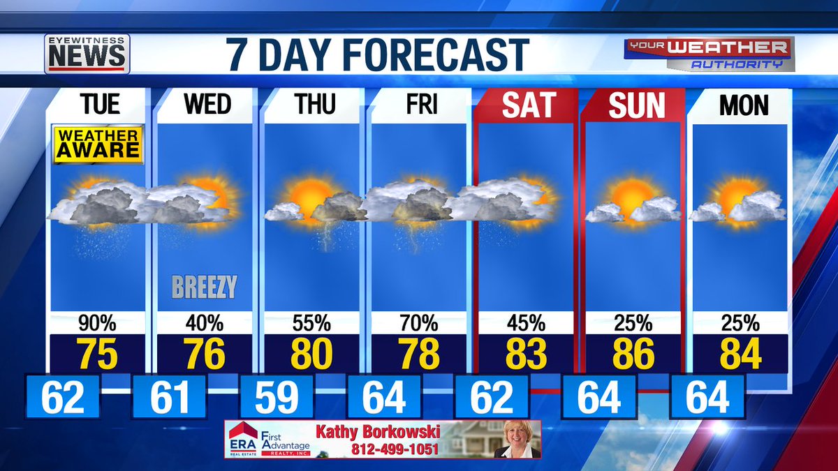
T'showers towards daybreak...mild lows of 57-62; Mostly cloudy TUE with showers/t'showers...highs 72-77; Mostly cloudy TUE night with sct showers...lows 60-63; Some clearing WED with sct showers diminishing...breezy highs of 69-76 (S to N...75-76 in Evansville metro). #tristatewx

Showers/t'showers TUE will scatter out TUE night then gradually end WED. Much of THU will be ok before sct showers/t'showers move in later in the afternoon, increase THU night, continue off-&-on FRI, then gradually end SAT with SUN likely to be the nicer weekend day. #tristatewx


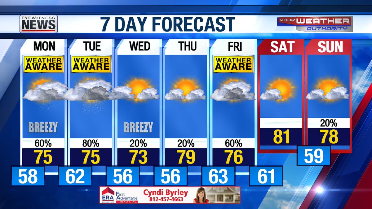
Mostly cloudy tonight with scattered showers diminishing this evening as temps fall into the 60s (sunset 7:53) then increasing towards daybreak (thunder possible) with mild lows of 58-63 (sunrise 5:40). #tristatewx #EWNWeather


Clouds & sct showers return MON, especially after noon, then showers/t'showers peak TUE afternoon. WED & THU look mainly dry before more showers return for the end of the work-week #tristatewx #EWNWeather

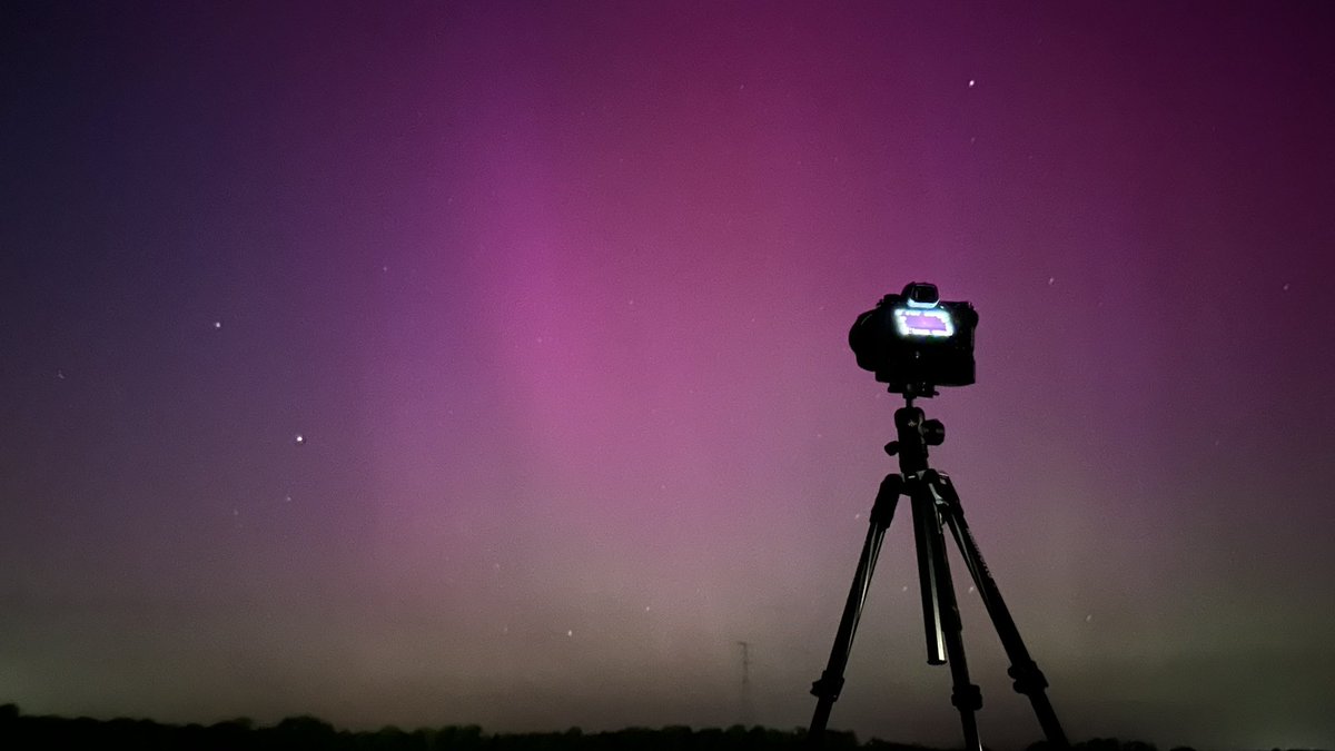
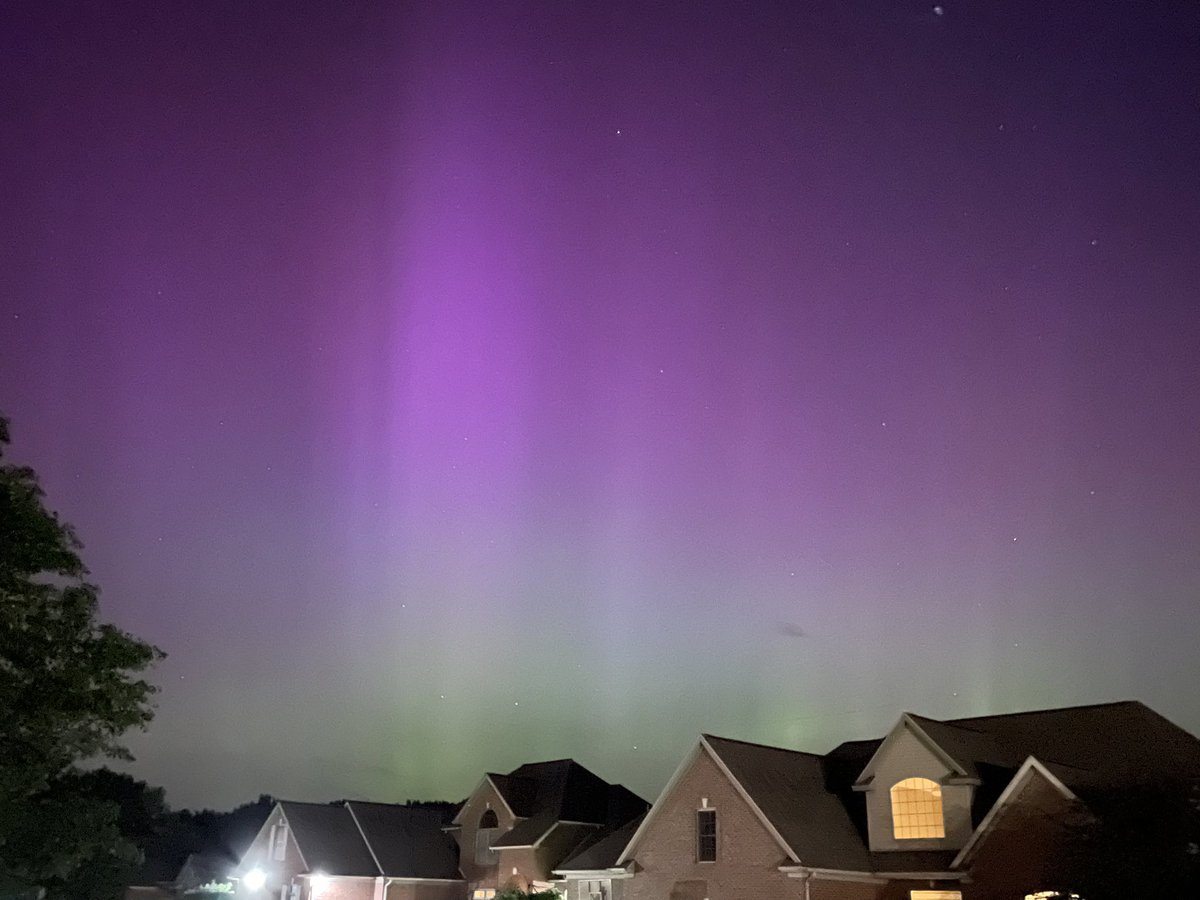
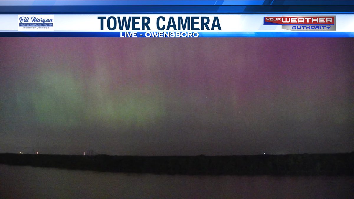
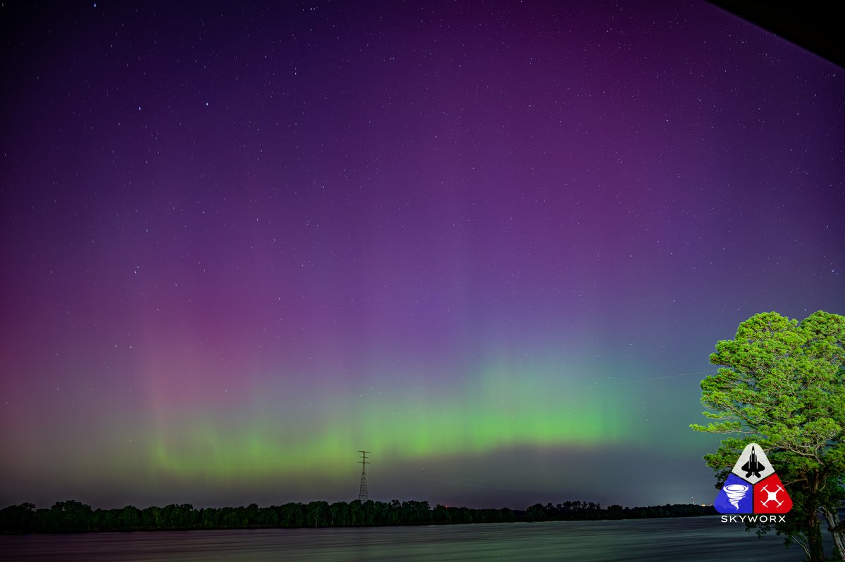
Never in a million years would I have thought this would happen. Tonight's #northernlights over the Ohio River from the east side of Owensboro, KY.
It hasn't even peaked yet!!! #kywx #tristatewx


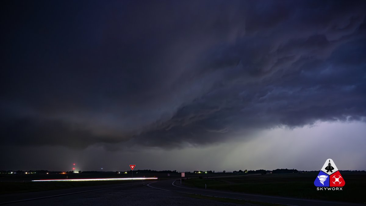
ALL CLEAR: Storms have moved east of #tristatewx and the Tornado WATCH has been canceled. Have a good night! #tristatewx #EWNWeather

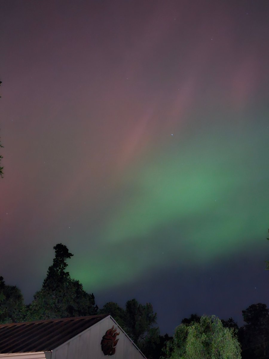
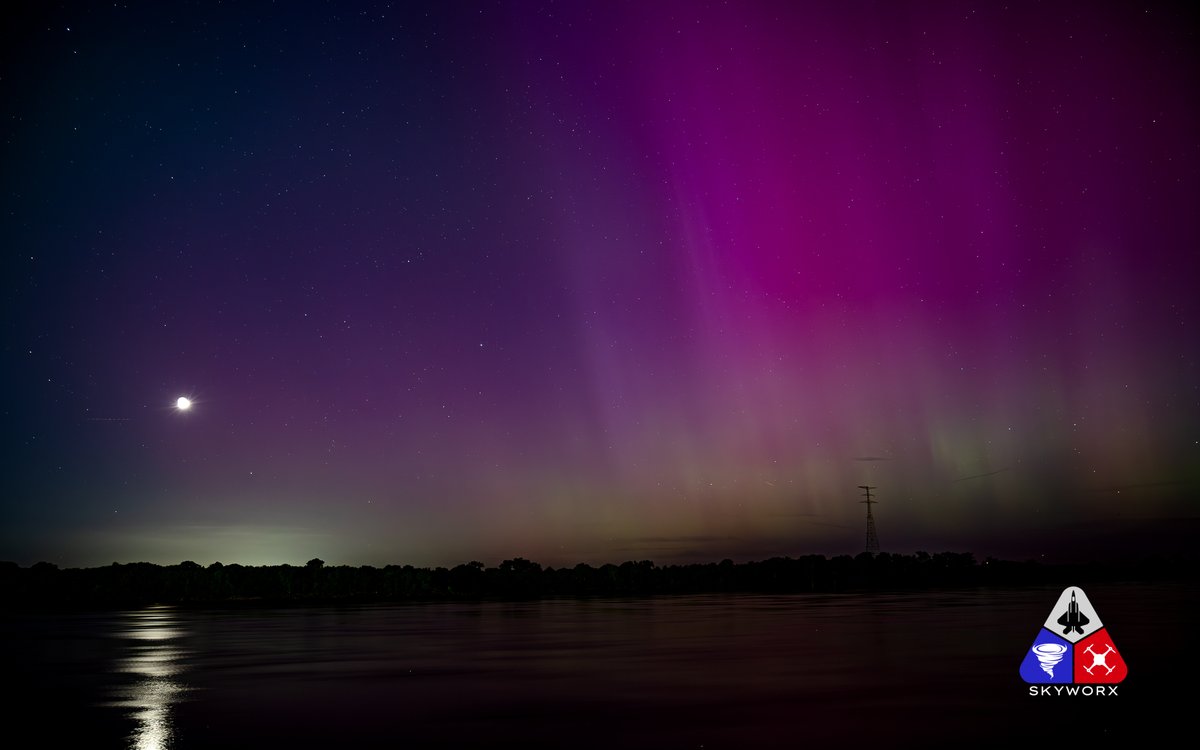
Just getting around to editing last night's #NorthernLights over the Ohio River in Owensboro #Kentucky
This is pics from the second episode that started around 2:00am central. #kywx #tristatewx #SpaceWeather
I hope we get another shot at it tonight!!!

Area of showers and storms is now moving into our southern and southwestern counties in Illinois and Kentucky. This should be up to the Ohio River between 11pm and Midnight. #tristatewx


A Tornado Warning has been issued for Lawrence County/Counties until May 07 9:45PM CDT. #EWNWeather #tristatewx


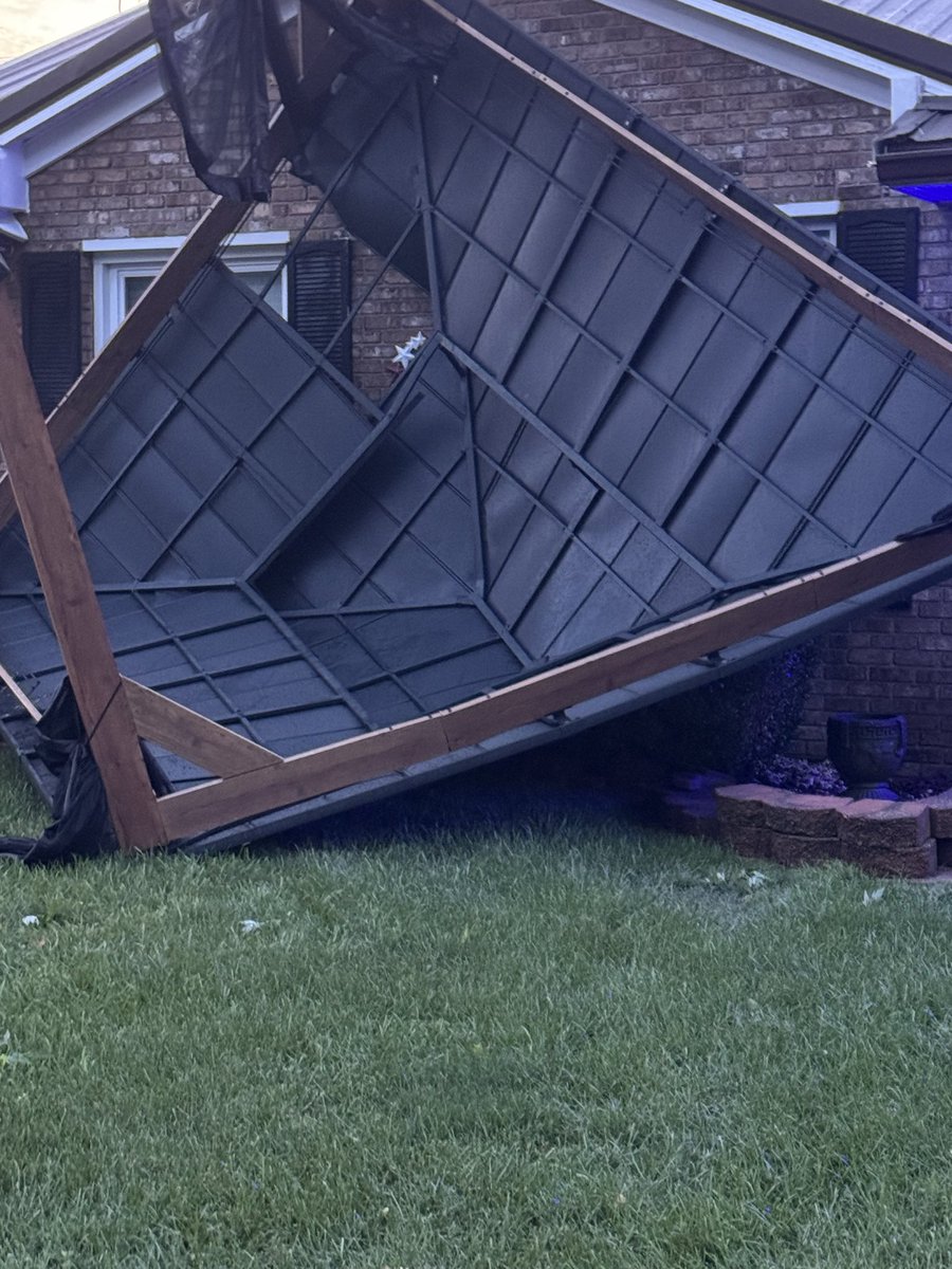
My laymen’s opinion: we had a very brief small tornado in Tell City around 1:00 AM this morning.. #tristatewx #inwx #lmkspotter


A Tornado Warning has been issued for Union, Webster, Hardin, Crittenden County/Counties until May 08 5:30PM CDT. #EWNWeather #tristatewx
