Telling meaningful stories with EO data Copernicus EU #satellitedata #earthobservation #datavisualization
copernicus.eu/en/news/news/o…


Satellite-based Agriculture Data The Nature Conservancy #satellitedata #remotesensing #agriculture
nature.org/en-us/what-we-…


Planet Superpowers: Looking Back Planet #satellitedata #earthobservation #broadareamanagement
planet.com/pulse/planet-s…


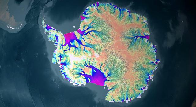
Tracking Tiny Movements Means Big Impacts for Earth Science NASA JPL #satellitedata #earthobservation #syntheticapertureradar #earthscience
jpl.nasa.gov/edu/news/2024/…


Our thermal image of Fresno, California was shared in World Geospatial Industry Council (WGIC)'s recent report to highlight the benefit of planned urban greening to reduce the Urban Heat Island (UHI) effect 👇
wgicouncil.pulse.ly/qlerwgqwwa
#SatelliteData #UrbanHeat


Stockholm researchers one step closer to large satellite project Stockholm University #satellitedata #earthobservation #climatechange
su.se/english/resear…


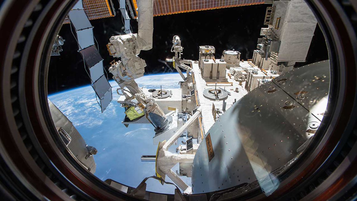
Sensors, Satellites, and Sidekicks: Chemical Fingerprinting From Space for Valuable Applications on Earth #satellitedata #earthobservation #hyperspectral #internationalspacestation
issnationallab.org/upward71-orbit…


100+ submissions in “Field Area Segmentation” competition! 🌾
Join this global challenge and show off your creativity. 🌏
solafune.com/competitions/d…
#Solafune #Competition #SatelliteData #DataScience #MachineLearning #Agriculture


New Online Solution for Monitoring Water Quality from Space #satellitedata #remotesensing #waterquality
ecomagazine.com/news/coastal/n…


New dataset provides critical ecological information for lakes across the U.S. #satellitedata #waterquality #lakes
usgs.gov/news/technical…


The deadline for #ALOS2 task orders from May 20 to July 14, 2024 has been updated.
Details can be found the following URL.
alos-pasco.com/en/alos-2/spec…
#EarthObservation #EO #SatelliteData #SatelliteImagery #tasking #SARsatellite #PASCOcorporation #Lband


First Two WorldView Legion Spacecraft Performing Well After Launch Maxar Technologies #satellitedata #earthobservation #geospatialintelligence
maxar.com/press-releases…


Satellite images of plants’ fluorescence can predict crop yields Cornell University #satellitedata #remotesensing #cropyield #agriculture
news.cornell.edu/stories/2024/0…

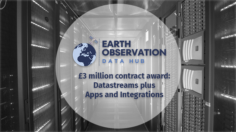
EO DataHub awards £3 million to simplify access to Earth observation data🌍
👉tinyurl.com/mryec83y
Welcome to our new EO DataHub partners Airbus Defence, Airbus Space, Earth-i, Sparkgeo, Spyrosoft and Oxidian
#eodata #satellitedata #RemoteSensing #SatelliteImages


Scion and NASA collaborate to investigate wildfire risks, water flows Scion #satellitedata #wildfire #drought #hydrology
scionresearch.com/about-us/news-…


25 Years, 25 Images NASA Earth #satellitedata #earthobservation
earthobservatory.nasa.gov/images/152739/…

Compilation of useful resources for “Field Area Segmentation” competition! 🌾
Start your subs by reading this!
“Useful Reading Materials for Field Segmentation” by yuchen2066
solafune.com/ja/competition…
#Solafune #Competition #SatelliteData #DataScience #MachineLearning #Agriculture

Two Small NASA Satellites Will Measure Soil Moisture, Volcanic Gases #satellitedata #earthobservation #earthscience
science.nasa.gov/earth/two-smal…