Timothy Ponepal(@TJsupercell) 's Twitter Profile Photo

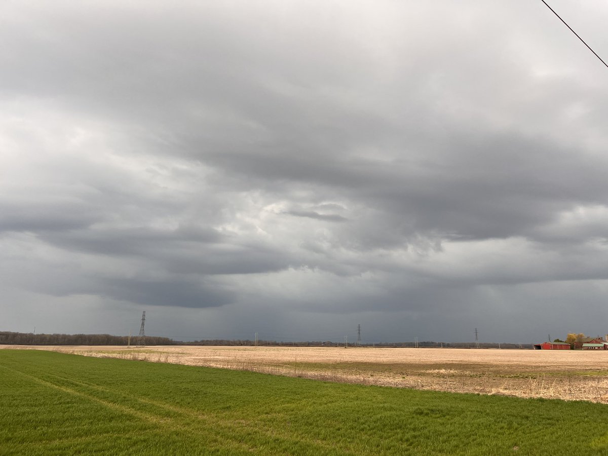
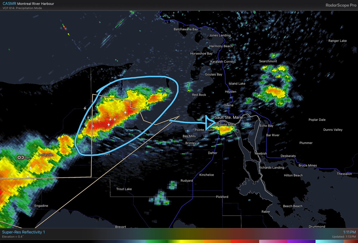
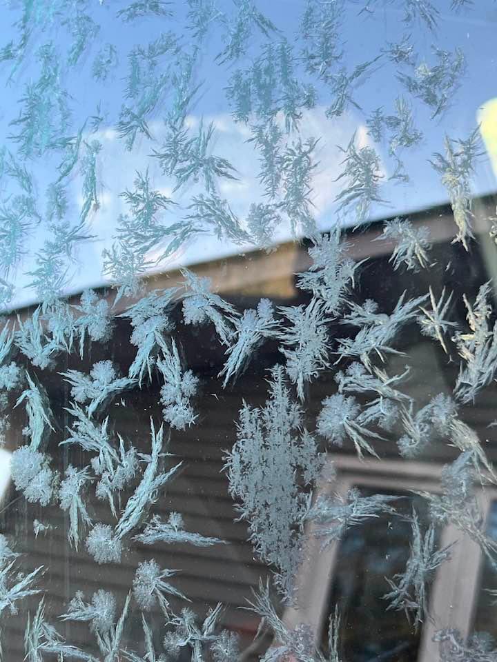
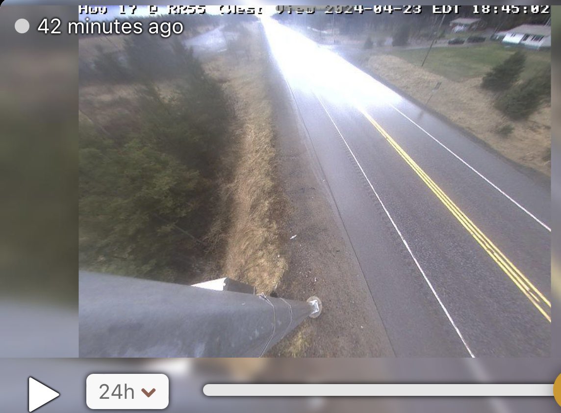
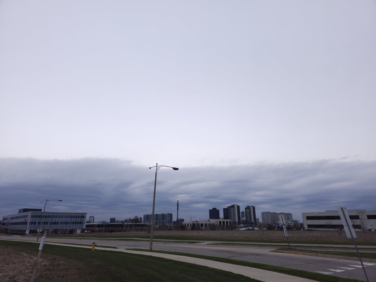
Some comments on what's happening around ontario


WeatherCAN
odawg
Alex Masse
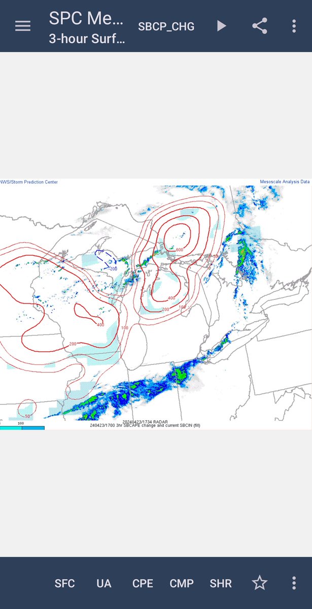
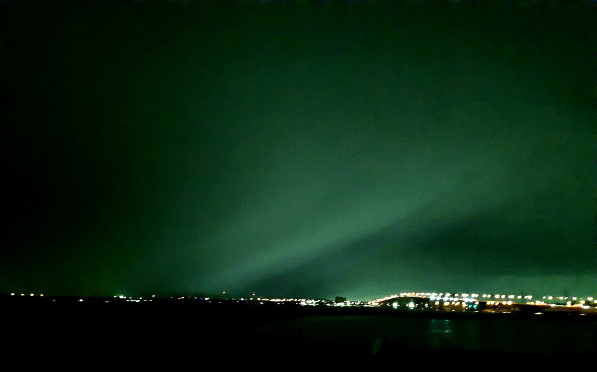
Cape and lapse rates shows where the instability is,It will slowly move to us but not fast enough.Perhaps nocturnal storms??
Huron Supercells
alluringstorms πŸ‡¨πŸ‡¦

Some comments on what's happening around ontario #onstorm
#onwx
#WeatherUpdate
@1Weathercanada 
@odawg1019 
@CAlexMasse 
Cape and lapse rates shows where the instability is,It will slowly move to us but not fast enough.Perhaps nocturnal storms??
@HuronSupercells 
@alluringstorms
account_circle
Ethan Bolzicco(@EthanBolziccoWX) 's Twitter Profile Photo

Is there a Canadian version of Skywarn Spotters. If so how can you become certified. . Also ECCC Weather Ontario do you do training classes like the NWS? I googled something and it took me to Canwarn but the site it took me to was hard to navigate on mobile.

account_circle
The Weather Network(@weathernetwork) 's Twitter Profile Photo

Ontarians might raid the entire closet this week trying to dress for the roller-coaster weather that's on the way. 🎒 ow.ly/ZvI250RkMXY

account_circle
ECCC Weather Ontario(@ECCCWeatherON) 's Twitter Profile Photo

Special Weather Statements have been issued for parts of northern Ontario! 🌧️

A low pressure system will bring rainfall amounts up to 40mm πŸ’§

Details πŸ‘‰ ow.ly/9BY650RoxwA


ow.ly/wpUa50Roxwz

Special Weather Statements have been issued for parts of northern Ontario! 🌧️

 A low pressure system will bring rainfall amounts up to 40mm πŸ’§

Details πŸ‘‰ ow.ly/9BY650RoxwA

#ONStorm #ONwx

ow.ly/wpUa50Roxwz
account_circle