

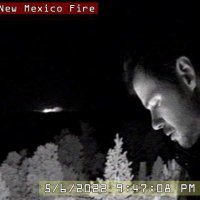
Actively tracking a new fire in the Santa Fe National Forest using the PTZ camera at ravencrestobservatory.com
#nmfire #fire #NewMexico #FireWX
New Mexico Forestry Division



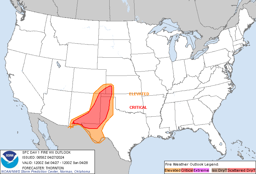
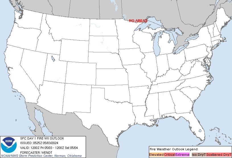
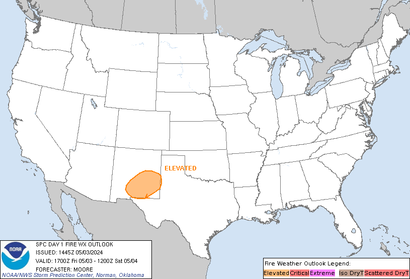
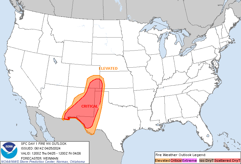
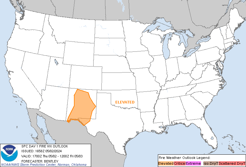
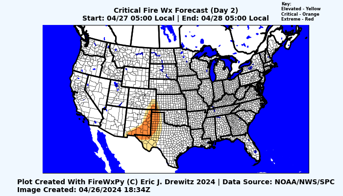
D1 #SPC #FireWX outlook
#Critical #fire risk in W #Texas and S and E #NewMexico states esp the cities of #ElPaso , #Alamogordo , #Clovis , #RoswellNM , #LasCruces , #Deming , #Tucumcari , #Hereford , #Artesia , #Hobbs , #Carlsbad , #Tatum cities
#Wxtwitter #TXwx #NMwx
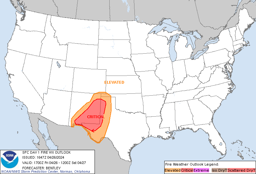

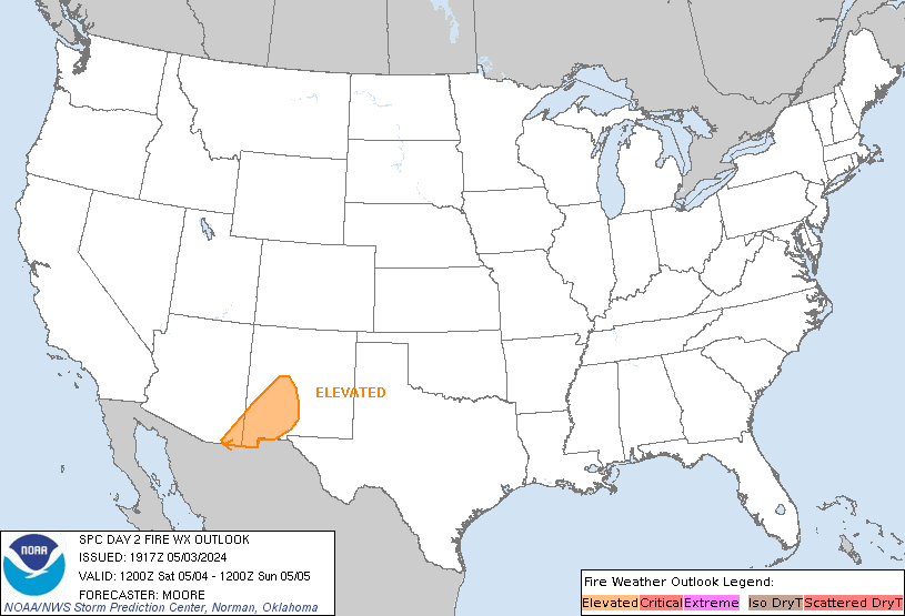
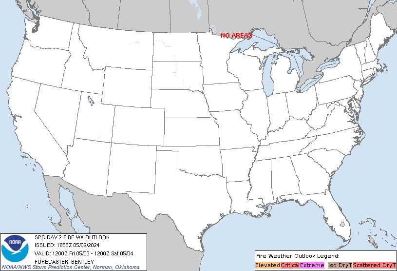
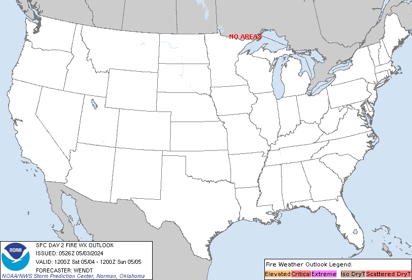
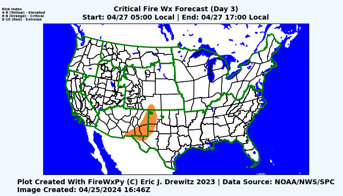
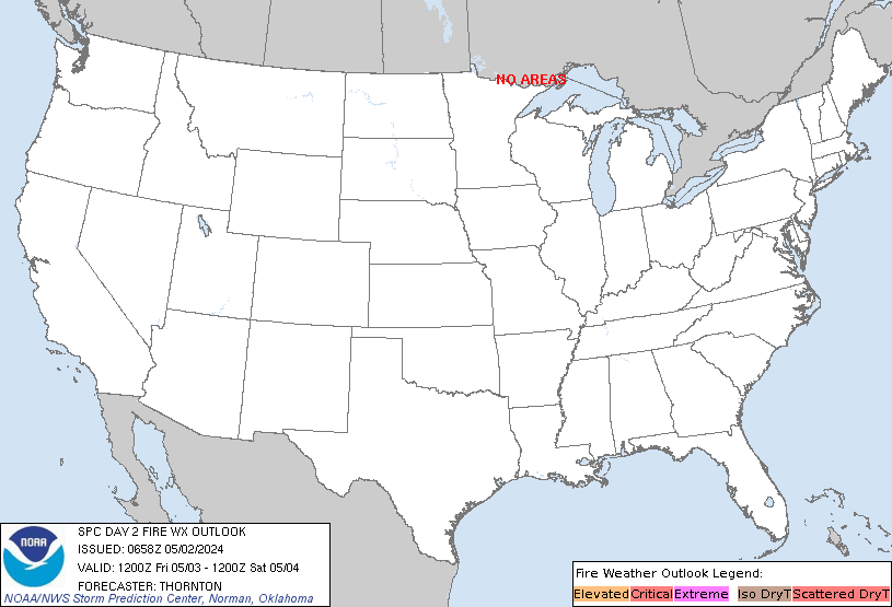
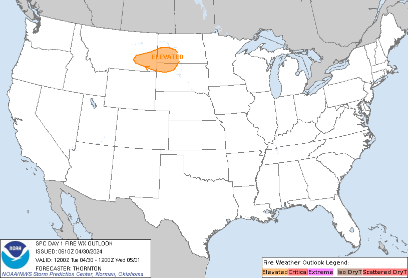
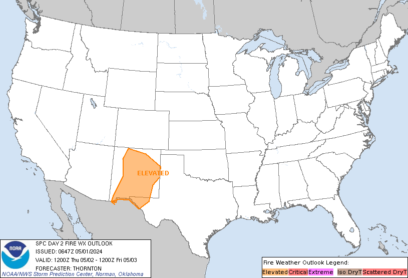
Here are Days 1 and 2 of the .NWS Storm Prediction Center Critical Fire Weather Outlook plotted using FireWxPy. Depending on who your audience is, you can plot using either State and County boundaries or Geographic Area Coordination Center and Predictive Services Area boundaries. #FireWx #Python



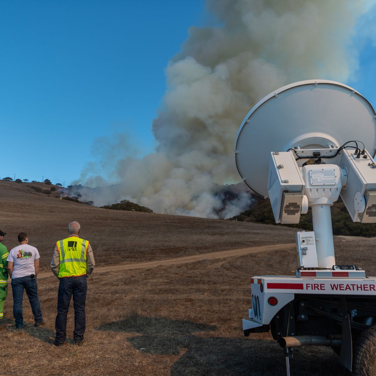
If you know how quickly wildfires can spread then you understand why it’s critical to be prepared and have an action plan.
#NationalWildfireAwarenessMonth #FireWX #CAWX #SJSU MetCS #SJSU


D1 #SPC #Fire WX
#Critical Risk in S US esp #ElPaso , #Amarillo , #Lubbock , #Borger , #DumasTX , #Plainview , #hereford , #RoswellNM , #Clovis , #Carlsbad , #Artesia , #Portales , #Hobbs , #Alamogordo , #LasCruces , #TruthorConsequences , #LiberalKS , #GardenCity
#Wxtwitter #TXwx #NMwx #OKwx #COwx #KSwx #Fire
