Dr. Jessie K. Pearl(@swampmonstah) 's Twitter Profile Photo

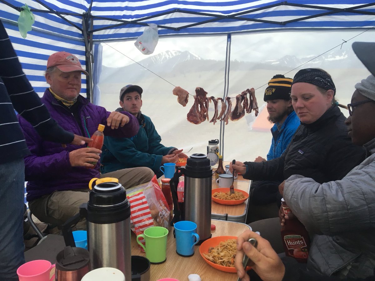
A few belated to start the field season: ๐ŸŸsurvey in Patagonia Sonoita Creek Preserve, and water sampling in the middle San Pedro. The Nature Conservancy in Arizona works to quantify the impacts of land use change, climate change, and restoration in these critical habitats!

account_circle
USGS South Atlantic Water Science Center(@USGS_SAWSC) 's Twitter Profile Photo

SAWSC Hydrologic Technician Sarah Chamblee ๐Ÿ“ธ measured streamflow at Nancy Creek on a Stormy day recently using an ADCP. See the data at ow.ly/434E50R4BUx ๐Ÿค

account_circle
USGS Science in Colorado(@USGS_CO) 's Twitter Profile Photo

that our Hydrologic Technicians need to drill holes through ice to measure our rivers in Colorado? Tony was out this week making calibration measurement on the Williams Fork in some icy conditions!

#DYK that our Hydrologic Technicians need to drill holes through ice to measure our rivers in Colorado?  Tony was out this week making calibration measurement on the Williams Fork in some icy conditions!  #FieldPhotoFriday
account_circle
USGS Science in Colorado(@USGS_CO) 's Twitter Profile Photo

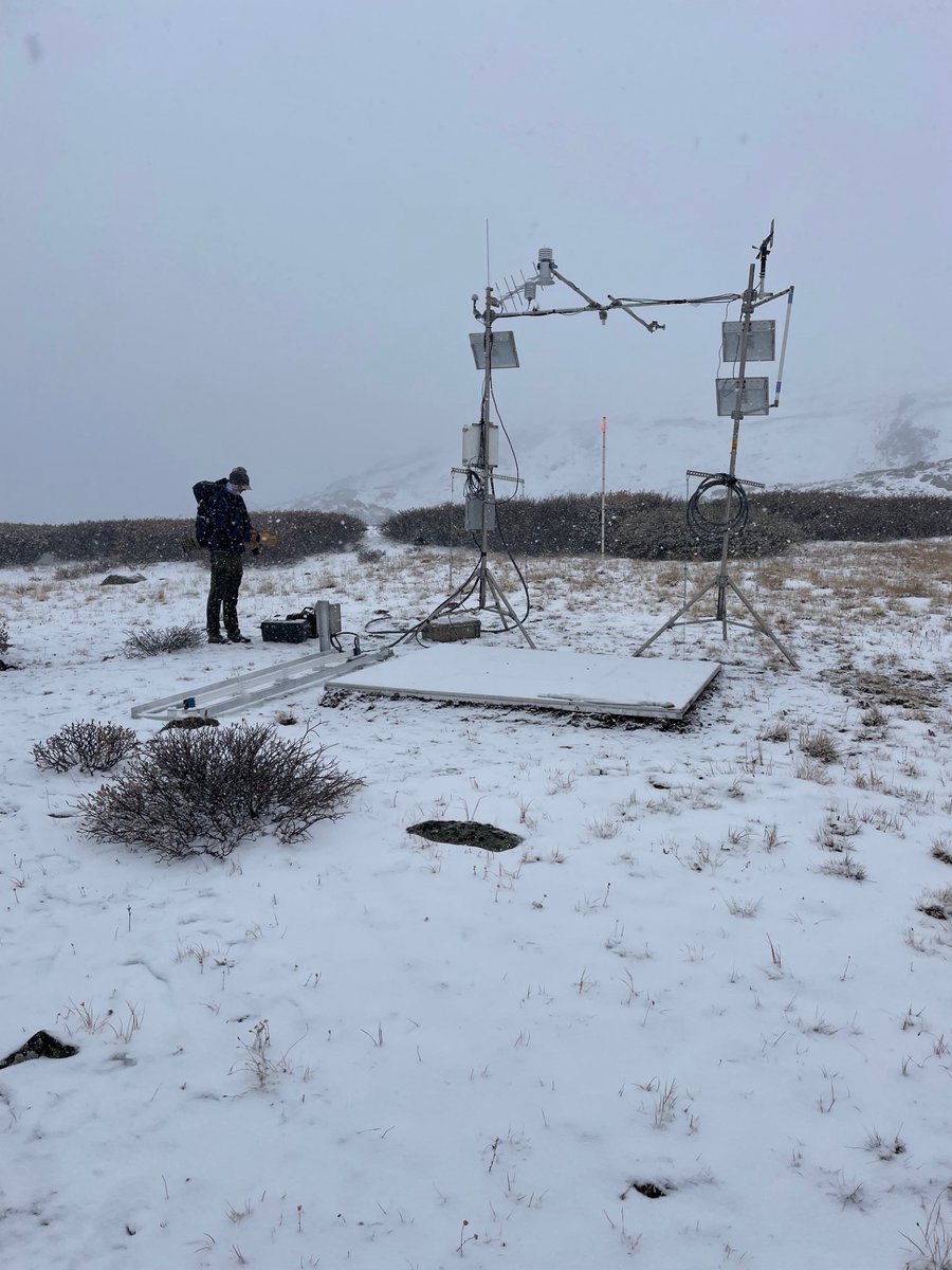
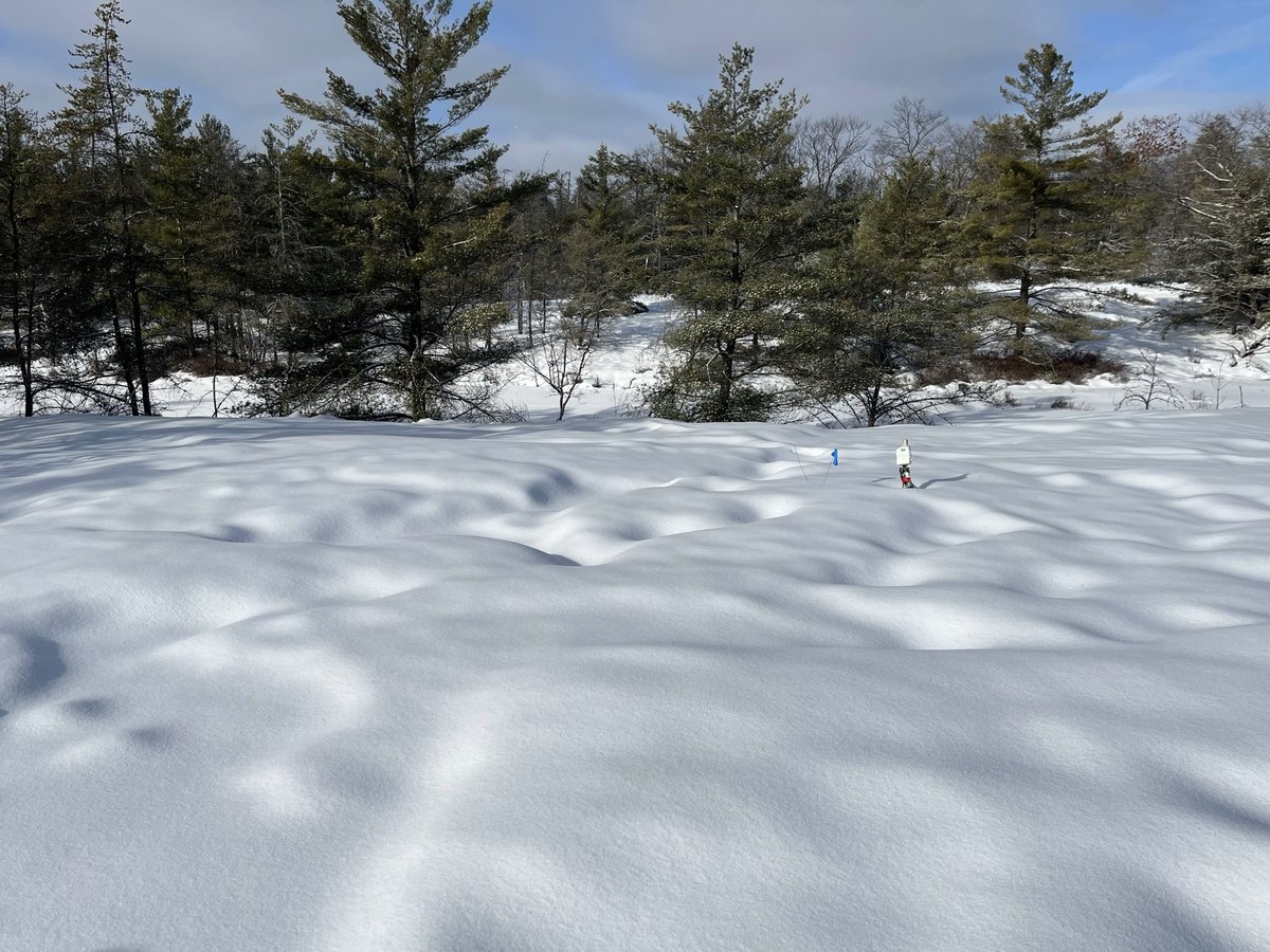
This comes from Taylor Pass Meteorological Station in . This Next Generation Water Observing System station tests water equivalent and snow depth equipment at a high elevation to understand above tree line snow conditions. ow.ly/uAYy50Qx0hJ

This #FieldPhotoFriday comes from Taylor Pass Meteorological Station in #Colorado. This Next Generation Water Observing System station tests #snow water equivalent and snow depth equipment at a high elevation to understand above tree line snow conditions. ow.ly/uAYy50Qx0hJ
account_circle
USGS Water Resources(@USGS_Water) 's Twitter Profile Photo

Itโ€™s & !

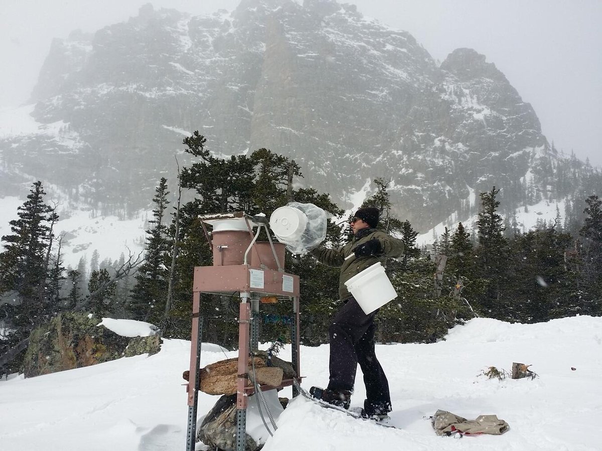
A Loch Vale project manager swaps a precipitation collector RockyNPS. Loch Vale is one of 250 sites in the National Atmospheric Deposition Program/National Trends Network (NADP/NTN).

Itโ€™s #FieldPhotoFriday & #NationalAirQualityAwarenessWeek! 

A Loch Vale project manager swaps a precipitation collector @RockyNPS. Loch Vale is one of 250 sites in the National Atmospheric Deposition Program/National Trends Network (NADP/NTN). 

#AQAW2024
account_circle
USGS South Atlantic Water Science Center(@USGS_SAWSC) 's Twitter Profile Photo

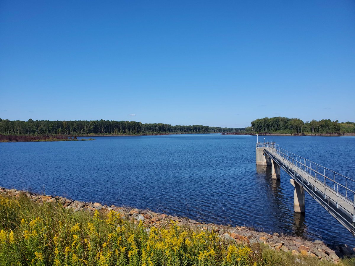
It's ! The USGS monitors drinking water all over the US, including the West Fork of the Eno River reservoir, NC. ow.ly/1URU50RB2C6. Ryan B Rasmussen.

It's #DrinkingWaterWeek! The USGS monitors drinking water all over the US, including the West Fork of the Eno River reservoir, NC. ow.ly/1URU50RB2C6. Ryan B Rasmussen. #FieldPhotoFriday
account_circle
USGS South Atlantic Water Science Center(@USGS_SAWSC) 's Twitter Profile Photo

SAWSC Hydrologic Technician Eric Von Amsberg set up equipment to take vertical profile readings from the water column for water quality sampling on West Fork of Eno River Reservoir. ow.ly/Senp50RvHKQ. ๐Ÿ“ธRyan B Rasmussen.

SAWSC Hydrologic Technician Eric Von Amsberg set up equipment to take vertical profile readings from the water column for water quality sampling on West Fork of Eno River Reservoir. ow.ly/Senp50RvHKQ. ๐Ÿ“ธRyan B Rasmussen. #FieldPhotoFriday
account_circle
Rick Moscati(@Zircon206) 's Twitter Profile Photo

Brachiopod samples from Anticosti Island, Quebec. ๐Ÿ‡จ๐Ÿ‡ฆ Collected from the ~444 Ma interval at the apex of the Hirnantian (Upper Ordovician) mass extinction event.

Brachiopod samples from Anticosti Island, Quebec. ๐Ÿ‡จ๐Ÿ‡ฆ Collected from the ~444 Ma interval at the apex of the Hirnantian (Upper Ordovician) mass extinction event. #FossilFriday #FieldPhotoFriday
account_circle
USGS National Uncrewed Systems Office (NUSO)(@USGS_UAS) 's Twitter Profile Photo

Need a UAS-themed team building activity?

Arrange your team to spell out a word, then snap an aerial photo! Thanks for the inspo, USGS in Idaho.

๐Ÿ“ท National Geospatial Program employees visiting Denver Federal Center last week spelled out 'USGS NGP'.

Need a UAS-themed team building activity?

Arrange your team to spell out a word, then snap an aerial photo! Thanks for the inspo, @USGS_Idaho.

๐Ÿ“ท National Geospatial Program employees visiting Denver Federal Center last week spelled out 'USGS NGP'. #FieldPhotoFriday
account_circle
USGS South Atlantic Water Science Center(@USGS_SAWSC) 's Twitter Profile Photo

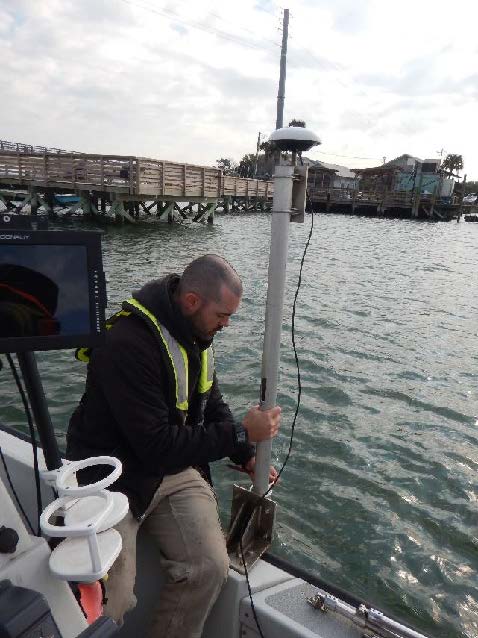
SAWSC Hydrologist Brad J. Huffman uses bathymetric-mapping techniques to study geometry and hydrologic Influences Impacting contraction and scouring of bridges in Charleston, South Carolina. To learn more visit usgs.gov/centers/sawsc/โ€ฆ. ๐Ÿค SCDOT FHWA

SAWSC Hydrologist Brad J. Huffman uses bathymetric-mapping techniques to study geometry and hydrologic Influences Impacting contraction and scouring of bridges in Charleston, South Carolina. To learn more visit usgs.gov/centers/sawsc/โ€ฆ. ๐Ÿค SCDOT FHWA #FieldPhotoFriday
account_circle
Caltech Seismo Lab(@CaltechSeismo) 's Twitter Profile Photo

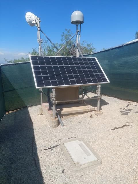
Another station that has undergone upgrades in recent years is RHC2 in Whittier. The station was installed in 2003 and was upgraded as part of a large UASI project in 2013. Upgrades continued this year with new equipment, increasing our detection capability!

Another station that has undergone upgrades in recent years is RHC2 in Whittier. The station was installed in 2003 and was upgraded as part of a large UASI project in 2013. Upgrades continued this year with new equipment, increasing our detection capability! #FieldPhotoFriday
account_circle
USGS National Uncrewed Systems Office (NUSO)(@USGS_UAS) 's Twitter Profile Photo

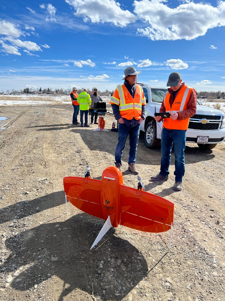
Another cohort of USGS remote pilots have completed training in Denver, CO to fly the WingtraOne Gen II, a fixed-wing vertical takeoff-and landing UAS platform that can be used to map large areas.

Another cohort of USGS remote pilots have completed training in Denver, CO to fly the WingtraOne Gen II, a fixed-wing vertical takeoff-and landing UAS platform that can be used to map large areas. #FieldPhotoFriday
account_circle
USGS South Atlantic Water Science Center(@USGS_SAWSC) 's Twitter Profile Photo

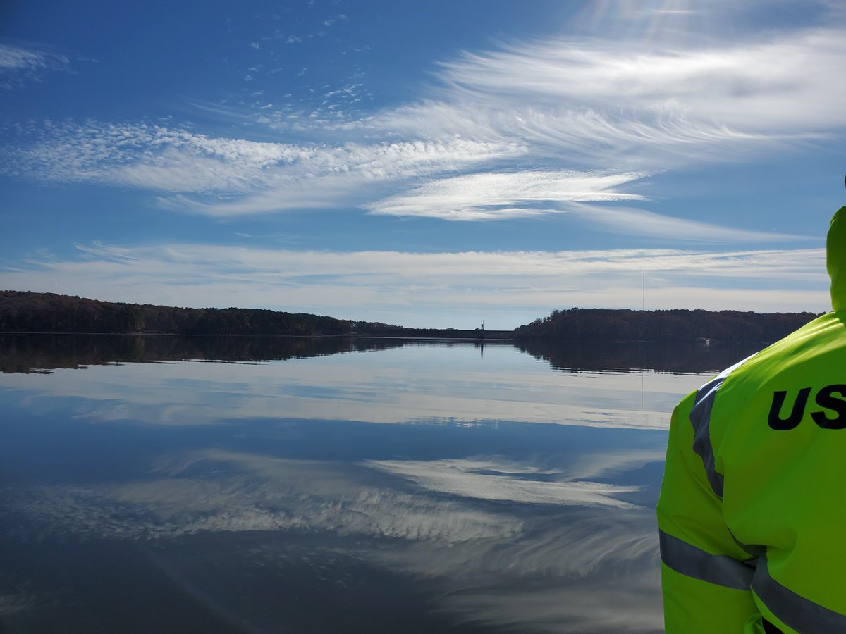
Hydrologic Technician Eric Von Amsberg took a boat to a sampling site on the Haw River arm of B. Everett Jordan Lake. The Dam is pictured here. ๐Ÿ“ธ Ryan Rasmussen. To see the data, click ow.ly/7YFr50R9J2j.

Hydrologic Technician Eric Von Amsberg took a boat to a sampling site on the Haw River arm of B. Everett Jordan Lake. The Dam is pictured here. ๐Ÿ“ธ Ryan Rasmussen. To see the data, click ow.ly/7YFr50R9J2j. #FieldPhotoFriday
account_circle
USGS National Uncrewed Systems Office (NUSO)(@USGS_UAS) 's Twitter Profile Photo

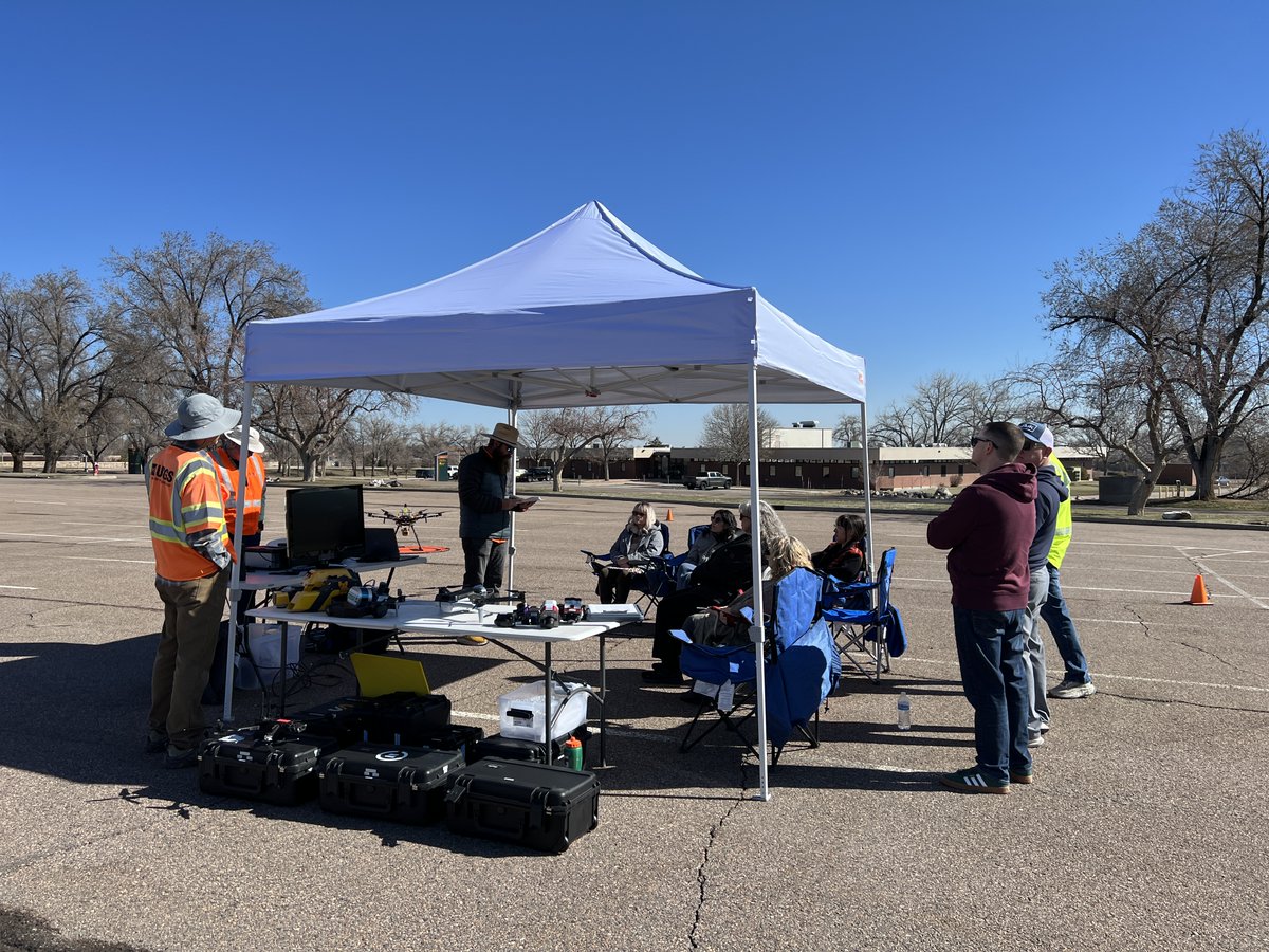
The USGS Geosciences and Environmental Change Science Center admin staff recently spent a sunny morning outside at the Denver Federal Center to learn about UAS technology and science applications.

The USGS Geosciences and Environmental Change Science Center admin staff recently spent a sunny morning outside at the Denver Federal Center to learn about UAS technology and science applications. #FieldPhotoFriday
account_circle
Meteoritical Society(@MeteoriticalSoc) 's Twitter Profile Photo

Did you know that the study of meteorite impact craters here on Earth is a big part of what our society members do?! For here are some images from the Haughton impact structure ๐Ÿ‡จ๐Ÿ‡ฆ - check out these breccias, impact melt rocks & shatter cones!

Images: Gordon Oz Osinski

Did you know that the study of meteorite impact craters here on Earth is a big part of what our society members do?! For #FieldPhotoFriday here are some images from the Haughton impact structure ๐Ÿ‡จ๐Ÿ‡ฆ - check out these breccias, impact melt rocks & shatter cones!

Images: @drcrater
account_circle