Ida Hung TWN
@idahung15
Meteorologist at @weathernetwork ⛈ • Prairie roots 🌾❤️ • MSc Atmospheric Science 👩🏻🏫 • #ShareYourWeather • Opinions are my own
ID:105692545
https://www.instagram.com/idahung/ 17-01-2010 04:48:37
1,5K Tweets
760 Followers
288 Following

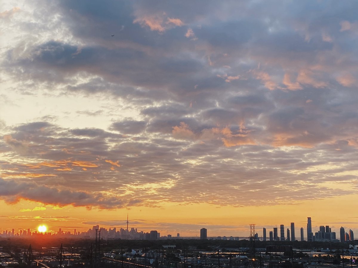
It’s been a while but I finally caught another incredible Toronto sunrise 😍. It’s so windy I couldn’t hold my phone steady! 🌬️ The Weather Network #redsunrise #Toronto #ONwx #ShareYourWeather

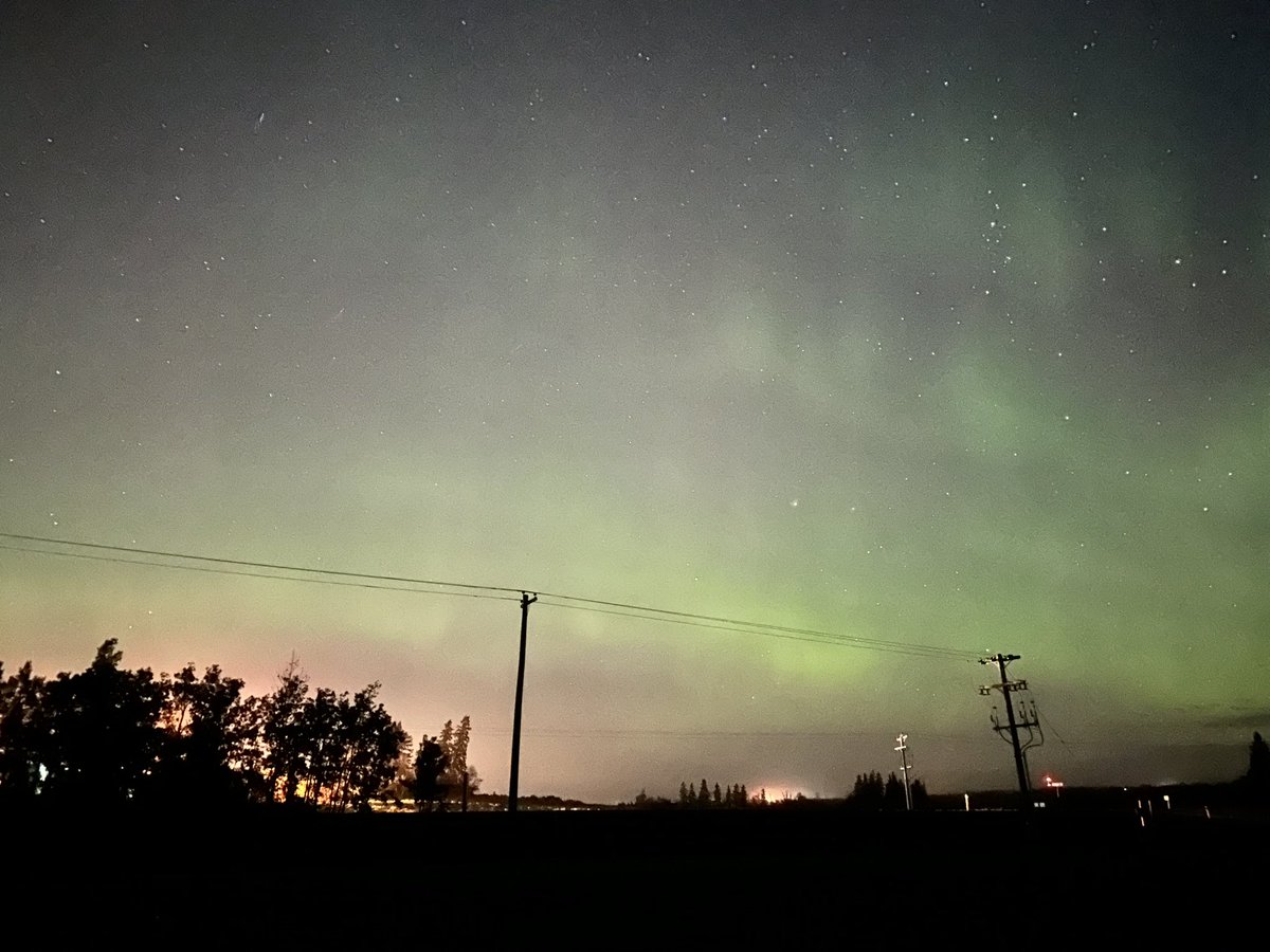
Aurora Borealis.
Kim MacDonald 🌻 Melinda Singh TWN Jaclyn Whittal Chris Murphy TWN @RhythmReetWx Nadine Powell TWN Ida Hung TWN Nicole Karkic - Video Meteorologist Laura Power TWN Mark Robinson Leanne The Weather Network Sunny94
#ShareYourWeather #Aurora
Sept. 18, 2023. 9:10/10:23 p.m. mdt.

This sunset in Calgary, AB is giving me cotton candy vibes 😍 The Weather Network #ShareYourWeather #ABwx #Calgary #Alberta


August 25,2023 in Town of Bauline . #ShareYourWeather #sunsetphotography #nlwx #YYT The town of Bauline conception bay Newfoundland and Labrador.


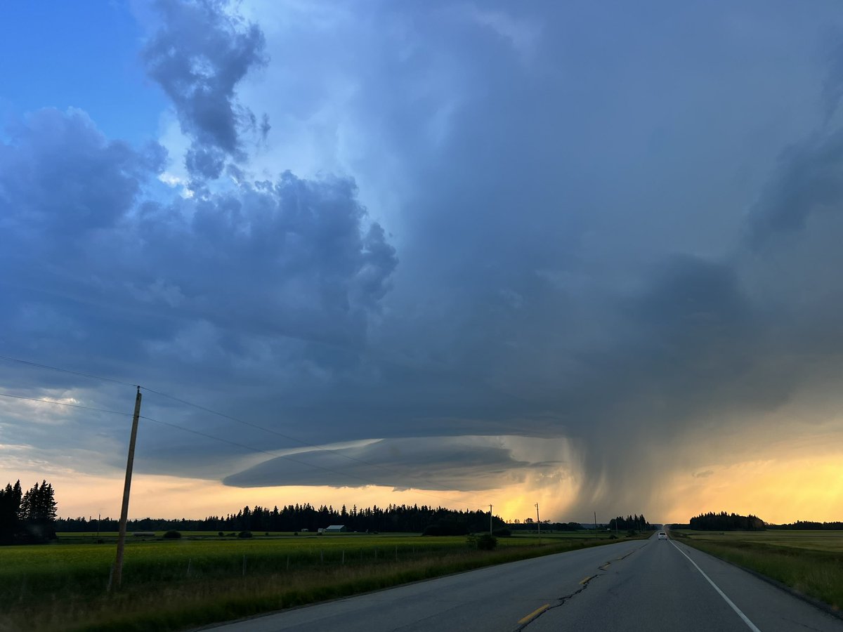
Storm south of Rocky Mountain House.
Kim MacDonald 🌻 Melinda Singh TWN Jaclyn Whittal Chris Murphy TWN @RhythmReetWx Shannon Ida Hung TWN Laura Power TWN Mark Robinson Rachel Modestino TWN Nadine Powell TWN Leanne The Weather Network
#ShareYourWeather #ABstorm
August 1, 2023. 8:10 p.m. mdt.

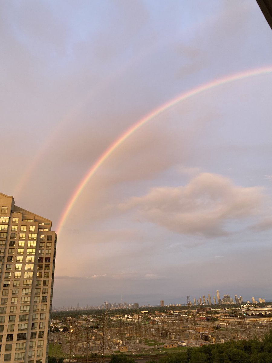
Ida Hung TWN The Weather Network Also in Etobicoke, such an amazing little Sunday gift 😍

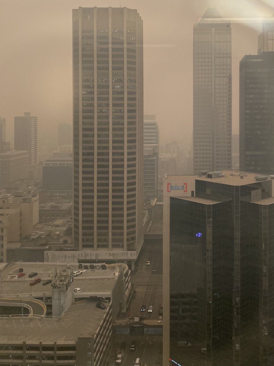
Downtown Calgary is looking quite eerie 📸: Roberto R. The Weather Network #Calgary #ABWildfire #albertafires

Nearly all of #Alberta is under ‘Extreme’ fire danger rating meaning vegetation can easily be ignited. Please take precaution! Rain is on the way; not a lot but this will help alleviate some of the threat The Weather Network #ABwx #ABWildfire


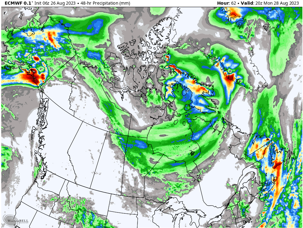
The Maritimes vs. Newfoundland. While only several km apart, an upper level trough is locked over #Newfoundland bringing cold and unsettled conditions. The Maritimes however, will soak in the sun and warmth from an upper ridge. The Weather Network Nathan Coleman #NLwx #NSwx #NBwx #PEIwx


A parade of lows is headed for the BC coast this weekend! It looks like the #Vancouver Sun Run will be a rainy + overcast day 🌧️🌧️. Keep up to date on the forecast at The Weather Network #BCwx #YVR
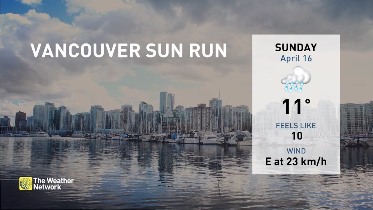

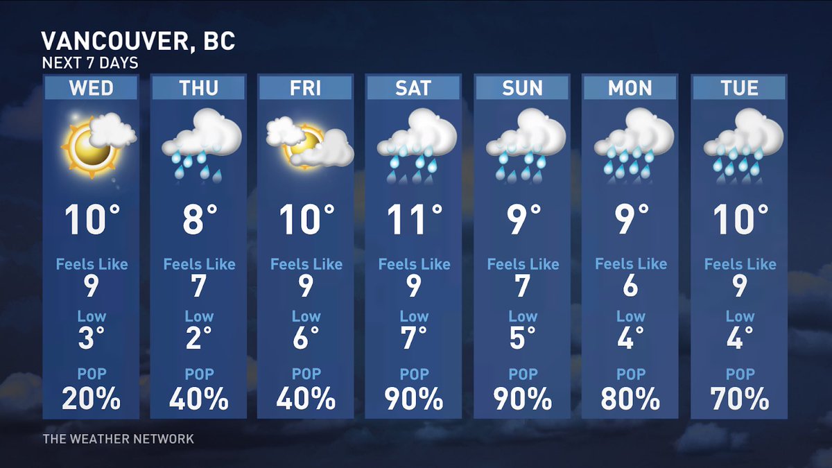
A bit unsettled through the work week before another round of rain returns for a soggy weekend 🌧️🌧️🌧️ The Weather Network #BCwx #BCStorm #YVR #Vancouver
