Aaron Jayjack(@aaronjayjack) 's Twitter Profileg
Aaron Jayjack

@aaronjayjack

Storm Chaser. YouTube, Videographer, Photographer, Livestreamer. Experiencing & documenting extreme weather is my passion. CHASE Your PASSION. #jayjackstormtrax

ID:9299392

linkhttp://www.youtube.com/aaronjayjack calendar_today07-10-2007 22:52:37

19,3K Tweets

53,0K Followers

1,3K Following

Follow People
RadarOmega(@RadarOmega) 's Twitter Profile Photo

MOMENTS AGO: This stationary cyclonePORT unit at a fire station in Columbia, TN caught what appears to be a tornado lowering before the power went out here. A PDS tornado warning was issued minutes later.

account_circle
RadarOmega(@RadarOmega) 's Twitter Profile Photo

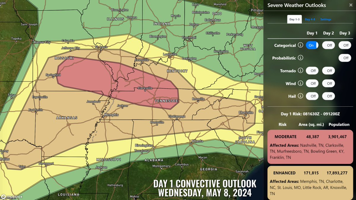
MODERATE RISK TODAY (5/8/24): Severe storms appear likely from parts of the mid-Mississippi, Ohio, and Tennessee Valleys into the southern Plains. All hazards, including tornadoes (some strong), large to giant hail, and damaging winds are possible.

MODERATE RISK TODAY (5/8/24): Severe storms appear likely from parts of the mid-Mississippi, Ohio, and Tennessee Valleys into the southern Plains. All hazards, including tornadoes (some strong), large to giant hail, and damaging winds are possible. #MOwx #ILwx #KYwx #TNwx
account_circle
Aaron Jayjack(@aaronjayjack) 's Twitter Profile Photo

Tracking a significant severe weather threat with the possibility of tornadoes today in southern Missouri into southeastern Missouri, southern Illinois , and western Kentucky and Tennessee where the SPC has issued a wind and hail driven MODERATE risk. Tornadoes, large hail and…

account_circle
Aaron Jayjack(@aaronjayjack) 's Twitter Profile Photo

Incredible lightning release from the tornado warned stack-o-pancakes supercell in Perry, OK last night. Shot on the Insta 360 X3. Misheyla Iwasiuk

account_circle
Aaron Jayjack(@aaronjayjack) 's Twitter Profile Photo

360 reframe timelapse of a massive supercell approaching I-35 in Perry, OK earlier tonight. Shot on the Insta360 X3. My new X4 is in the mail! Misheyla Iwasiuk RadarOmega

account_circle
Misheyla Iwasiuk(@MisheylaIwasiuk) 's Twitter Profile Photo

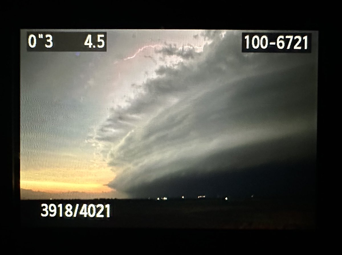
Back of cam shot of the tornado warned supercell moving into Perry, OK.


Ask me if I still know how to use LR.. the answer is no, I do not.

Aaron Jayjack

Back of cam shot of the tornado warned supercell moving into Perry, OK. #OKwx Ask me if I still know how to use LR.. the answer is no, I do not. ⁦@aaronjayjack⁩
account_circle
Aaron Jayjack(@aaronjayjack) 's Twitter Profile Photo

We are LIVE on developing storms near Greensburg, KS with a TORNADO Watch in effect this afternoon and evening. Misheyla Iwasiuk

youtube.com/live/-XkCC-noL…

We are LIVE on developing storms near Greensburg, KS with a TORNADO Watch in effect this afternoon and evening. #kswx @MisheylaIwasiuk youtube.com/live/-XkCC-noL…
account_circle
Aaron Jayjack(@aaronjayjack) 's Twitter Profile Photo

Chasing a significant HIGH Risk tornado outbreak event for the Great Plains today. We are targeting southern Kansas into central Oklahoma this afternoon on and into the evening. We will be LIVE in the RadarOmega app as well as my YouTube channel.

account_circle
Shane Ornelas(@ShaneHpns) 's Twitter Profile Photo

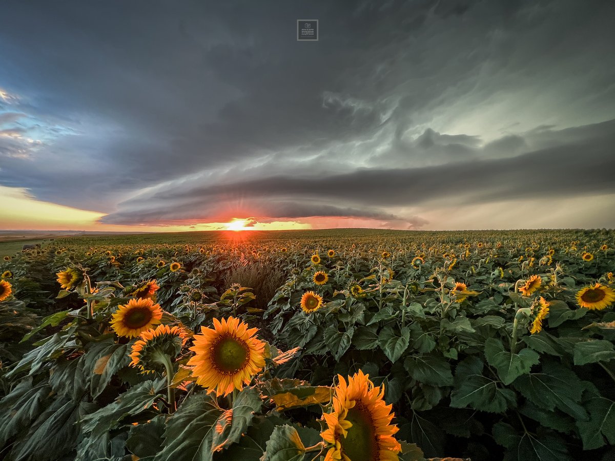
Storm chasing in North Dakota just hits different. I can’t explain it. 7/29/23.


More images available by visiting my website.

shanehappensphoto.com

Storm chasing in North Dakota just hits different. I can’t explain it. 7/29/23. #stormhour #northdakota #ndwx More images available by visiting my website. shanehappensphoto.com
account_circle
Pezman(@PezmanWx) 's Twitter Profile Photo

Frankenstein 
Randlett, OK

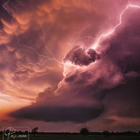
This hailmonster mothership spent several hours putting down tornadoes & a huge hail swath of 200 miles last weekend across the Red River in Texas & Oklahoma. Before a into a line it sculpted into this beautiful hail illuminated meso Aaron Jayjack
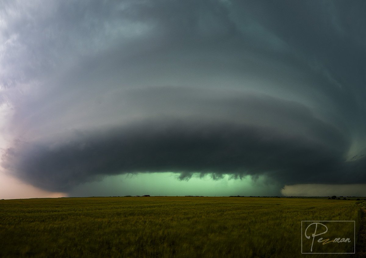
Frankenstein  Randlett, OK This hailmonster mothership spent several hours putting down tornadoes & a huge hail swath of 200 miles last weekend across the Red River in Texas & Oklahoma. Before a into a line it sculpted into this beautiful hail illuminated meso @aaronjayjack
account_circle
Aaron Jayjack(@aaronjayjack) 's Twitter Profile Photo

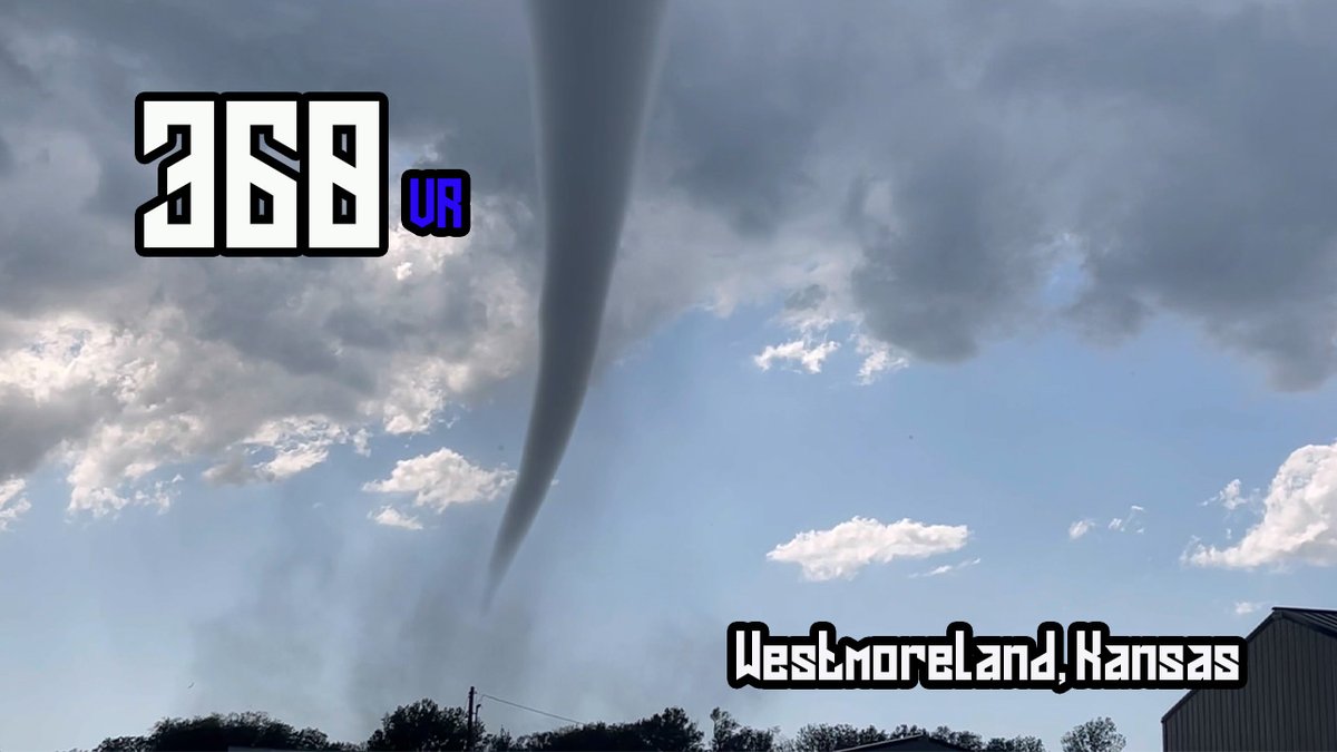
NEW 360 (VR) Video is LIVE of the Westmoreland, Kansas tornado intercept a few days ago.

We are about to put our 360 VR goggles on and relive the experience of intercepting this tornado and its harrowing spooky voice.

youtu.be/rOiegWVxidQ?si…

NEW 360 (VR) Video is LIVE of the Westmoreland, Kansas tornado intercept a few days ago. We are about to put our 360 VR goggles on and relive the experience of intercepting this tornado and its harrowing spooky voice. youtu.be/rOiegWVxidQ?si…
account_circle