NWS Boston/Norton Skywarn(@WX1BOX) 's Twitter Profile Photo

Happy World Amateur Radio Day to all the Amateur Radio Operators out there, many of which assist with timely severe weather reporting into NWS, Emergency Management, media etc. for the protection of life and property via SKYWARN.

account_circle
maybe: k*rk(@oldscarf1stweek) 's Twitter Profile Photo

First 2% tornado risk for W CT and W MA for Sunday afternoon. Ton of shear, maybe enough instability for a surprise. Will deep dive into this later tonight

First 2% tornado risk for W CT and W MA for Sunday afternoon. Ton of shear, maybe enough instability for a surprise. Will deep dive into this later tonight #ctwx #mawx
account_circle
New England Storm Center(@nesc23) 's Twitter Profile Photo

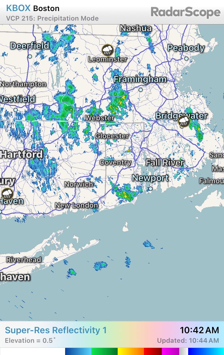
Flood alerts continue across New England as rivers rise and instances of flash flooding occurs. There are reports of some flooded roads coming from western Maine. About 14,000 are without power in New England from gusty winds.

Flood alerts continue across New England as rivers rise and instances of flash flooding occurs. There are reports of some flooded roads coming from western Maine. About 14,000 are without power in New England from gusty winds. #MEwx #NHwx #VTwx #MAwx #CTwx #RIwx
account_circle
NWS Albany(@NWSAlbany) 's Twitter Profile Photo

Relief from the wet weather is possible heading into next week with the Climate Prediction Center favoring below normal precipitation during the April 22-26, 2024 period (6 to 10 day outlook). Below normal temps are favored during the same time period.

Relief from the wet weather is possible heading into next week with the Climate Prediction Center favoring below normal precipitation during the April 22-26, 2024 period (6 to 10 day outlook). Below normal temps are favored during the same time period. #nywx #mawx #ctwx #vtwx
account_circle
NWS Boston/Norton Skywarn(@WX1BOX) 's Twitter Profile Photo

Monitoring for any coastal flooding reports across South Coastal Mass/RI with high tide currently taking place over the area.

account_circle
Janna Brown ⚡️(@MetJannaBrown) 's Twitter Profile Photo

2:45PM: A low-end severe threat for Berkshire and western Hampshire, Franklin Counties with this passing front. Isolated strong to damaging wind gusts are possible or even a weak spin-up tornado.

2:45PM: A low-end severe threat for Berkshire and western Hampshire, Franklin Counties with this passing front. Isolated strong to damaging wind gusts are possible or even a weak spin-up tornado. #mawx
account_circle
NWS Albany(@NWSAlbany) 's Twitter Profile Photo

We are monitoring the potential for severe weather tomorrow. After initial clouds & showers, we will watch if any breaks of sun occur in the P.M, mainly south of I-90, before a cold front arrives. Storms may become severe w/ damaging winds the main concern.

We are monitoring the potential for severe weather tomorrow. After initial clouds & showers, we will watch if any breaks of sun occur in the P.M, mainly south of I-90, before a cold front arrives. Storms may become severe w/ damaging winds the main concern.#nywx #mawx #ctwx #vtwx
account_circle
Tucker Antico(@tuckerweather) 's Twitter Profile Photo

We've just experienced the warmest back-to-back days in Boston (average max temp: 70.5°) since the final week of October 2023 (10/28-29)!

account_circle
NWS Albany(@NWSAlbany) 's Twitter Profile Photo

Update: With showers now fairly widespread over eastern NY and western New England, the potential for severe weather has ended. A few rumbles of thunder cannot be ruled out through this evening but any severe weather will remain well to our south.

account_circle